Download
1 / 10
100 likes | 188 Vues
Explore the benefits of incorporating GIS in geoscience fieldwork through case studies and spatial modeling activities at different levels. Enhance students' understanding of landscapes and topography, and develop GIS skills for future use.

E N D
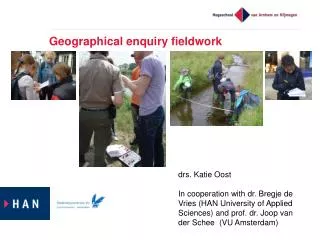
Integrating GIS & fieldwork for geoscience undergraduates Anne-Marie Nuttall School of Biological and Earth Sciences Liverpool John Moores University
Introduction • Two case studies: • Level 1 fieldtrip to Arran • First introduction to GIS • Level 3 fieldtrip to Snowdonia • After completing GIS/Remote Sensing module
Benefits of using GIS at Level 1 • Initial orientation & familiarisation with field area • day-by-day record of field sites • overview of how sites relate to each other • appreciation of topography & sense of scale • interpretation of contours & gradients • appreciation of software & GIS concepts for future use
Level 3 - Spatial modelling • Hypothesis: glacier formation is more likely on high-elevation, north-facing slopes • Input data: Digital Elevation Model (DEM) of Snowdonia • Calculate all grid cells with northerly orientation and > 600 m.a.s.l. • Overlay results on satellite image
Web resources: • Digimap (to download OS map & DEM data): http://digimap.edina.ac.uk • Landmap (satellite image coverage of the UK): http://www.landmap.ac.uk • ERDAS Imagine (Image processing software): http://www.erdas.co.uk • CHEST (university licensing for all of the above): http://www.chest.ac.uk • National Remote Sensing Centre (purchase of satellite images): http://www.nrsc.co.uk