Download
1 / 11
110 likes | 206 Vues
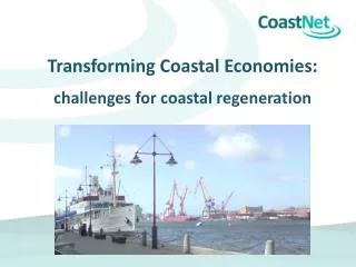
Join the SACRP workshop to explore using GIS for Torry's regeneration, considering climate challenges and proposed project plans. Dive into student-led Google Earth activities, discussing transportation options and envisioning amenities while preserving natural beauty along Nigg Bay. Engage in discussions about desired and unwanted changes for a sustainable coastal park.

E N D
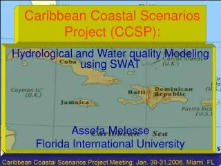
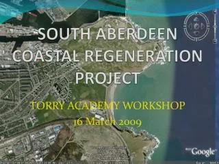
SOUTH ABERDEEN COASTAL REGENERATION PROJECT TORRY ACADEMY WORKSHOP 16 March 2009
WORKSHOP GOALS/OUTPUTS • Brief introduction to SACRP and objectives • Introduction to GIS through use of Google Earth • Each student to develop own plan for Torry Regeneration using Google Earth
Problems/Issues to Consider • Weather • Climate Change • Financial • Clean-up • Landscape • Screening
CONSIDERATIONS How Would You Get There? • Foot? • Bus ? • Car? • Other?
CONSIDERATIONS What Would You Like To Do? • Boat? • Swim? • Dive? • Surf? • What else?
CONSIDERATIONS What Would You Like To See? Boat pond? Resource centre? Cafe? Water park? Artificial reef? Aquarium? Submarine trail? Coastal park?
CONSIDERATIONS What Don’t You Want To See?