Bike Path Connectivity
This report outlines the current state of bike path connectivity in Alachua County and the City of Gainesville, focusing on accessibility, safety, and the availability of bike racks. By analyzing physical maps and ranking points of interest, we identify key gaps in the network and propose new routes to enhance connectivity. Recommendations include improving bike rack placement, categorizing dangerous intersections, and addressing GIS data collection challenges. Our findings aim to facilitate safer and more accessible bicycling options, ultimately promoting cycling as a viable transportation alternative.


Bike Path Connectivity
E N D
Presentation Transcript
Bike Path Connectivity Carsyn Painter Natalya Morgan Bridget Wlosek Janna Bond
Introduction • Bike path connectivity -Definition • Points of interest -Analyzing the physical map -Ranking system • Improvement plan • Additional thoughts on safety
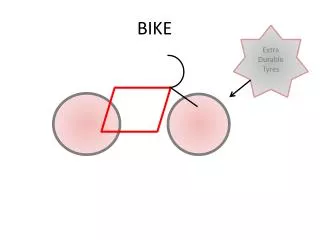
Methods • Deciding upon points of interest -Ranking them according to accessibility • Bike racks -No more than 50 meters away from a path -30 or more spaces • Proposing new paths to promote connectivity - How we chose new paths
Results • Many relevant points of interest are inaccessible • There are sizable gaps in the network of bike paths • Many bike racks are too small or too far away from paths
Conclusions • Proposal for new bike paths -Southwest Archer Road -34th Street -University Avenue -13th Street -Village Drive • Potential crossover for cyclists on the intersection of 34th and SW Archer Rd
Biking Safety Improvements • Plans to categorize dangerous intersections • Problems with GIS data collection • Potential implications for proper data collection • Potential real world applications for bicyclists