Download
1 / 17
170 likes | 174 Vues
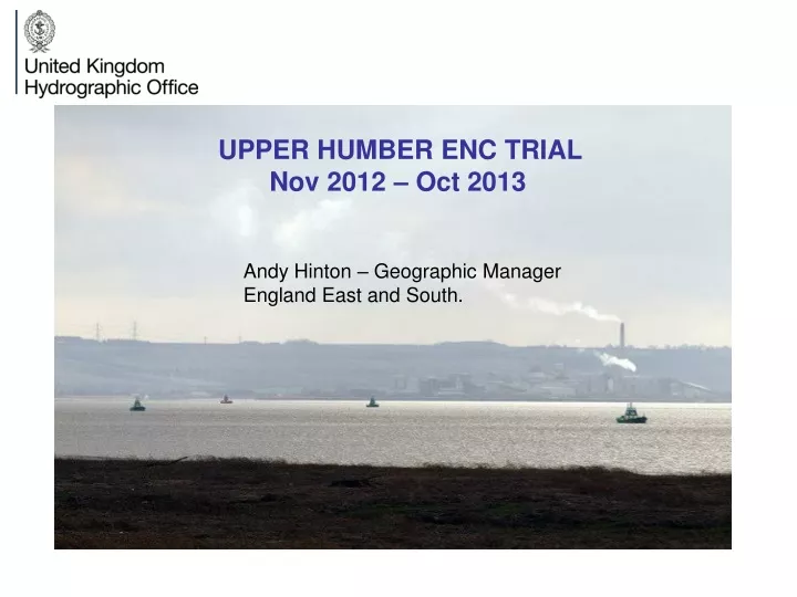
UPPER HUMBER ENC TRIAL Nov 2012 – Oct 2013. Andy Hinton – Geographic Manager England East and South. Upper Humber ENC cell presentation. Introduction and Background – why the Trial was conducted. Description of our new Hydrographic database system.

E N D
UPPER HUMBER ENC TRIAL Nov 2012 – Oct 2013 Andy Hinton – Geographic Manager England East and South.
Upper Humber ENC cell presentation. • Introduction and Background – why the Trial was conducted. • Description of our new Hydrographic database system. • Trial itself – how the product and service evolved over time • Conclusions/ key lessons learnt • Further work and applications
INTRODUCTION: AREA IN QUESTION • Humber Bridge to Goole on River Ouse and Keadby on River Trent • Goole – UK’s most inland port - 894th in world • 1600 commercial vessels - 80% ECDIS fitted • Accommodates vessels of 5.5m draught
ABP HUMBER SURVEY SCHEDULE. 2 weeks 6 weeks 8 weeks Dynamic hydrographic environment. Tortuous navigation Surveyed by ABP Humber on very frequent basis :
ABP Humber output • Survey – 2 weeks (Tuesday) • New Ships course • Autocad and pdf sheets • Buoy moves (Friday) • Chart - 2 months
UKHO CURRENT CHARTING. • Paper chart 3497 – 1:50,000 • ‘Unchartable’. • Traditional system - cannot cope with speed of change. • Paper chart NMs - 12/15 days, New Edition - 5 to 7 weeks • ENC updates - tied into paper chart NM timeframes.
REASONS FOR THE TRIAL. • Introduction of the Hydrographic Database • Berth to Berth ENC service top 1000 ports. • 80% vessels using river have ECDIS fitted. • MAIB report – Sea Mithril 2007.
HPD Paper Chart NMs NEs Paper Chart Editor ARCS Source Database Incoming data ENC Updates NEs Product Editor AMLs Hydrographic Database (HDB) CARIS HPD – Database approach. Source database (S57) – updated real time. Breaks link between paper charts and ENCs Humber area rolled into HDB in 2010/ 2011.
THE TRIAL : PRODUCT CREATION. APRIL TO NOV 2012 Agreed to conduct Trial – February 2012 Two targets – Update ENC in two working days Had to enhance navigation. Product creation - Scale 1:25,000. Critical features - Ship’s course, buoyage, coast, wrecks, Topography – enhanced Hydrography – General backdrop. Ship’s Course/ Buoyage updated -14 days Emailed out to ABP Humber 9th November
HUMBER ENC VERSION 1 9th November 2012. Ship’s course Buoyage General Hydrography No depths
HUMBER ENC VERSION 2 10th Jan 2013 All soundings Unsurveyed outside Update 2 working days. Presentation issues
HUMBER ENC VERSION 3 February 2013 Contours only – 15 Ships course/ Buoys Depth reassurance issue
HUMBER ENC VERSION 4 (FINAL) April 2013 Basic depth into. Contours Decimetre 0.5 dry to 1m. Ships course/ buoy
UKHO: Conclusions/ Lessons learnt . • Production and Maintenance System. • Automation. • System performance. • Port Authority/ survey contractor – technical capability.
Further work. • Non technical aspects • Commercially viable ? • Licensing/ distribution ?. Future applications • Unchartable areas. • ENC Berthing cells.
Upper Humber ENC Cell. Andrew Hinton.
PROCESSING CYCLE - FORTNIGHT UKHO Alerted survey imminent from NM Two day target Import data, create surface, auto contouring & sounding selection. Delete existing features and replace. Verification and validation checking of cell. ABP Pilots ABP Humber Survey Team Conduct survey Survey processing and analysis. Decide new buoyage and ships course Create updated chart with new course and buoyage. Conduct Buoy moves. Day 1 Day 2 Issue NM shoals xyz and dxf file Issue updated chart Day 3 New edition of ENC. New edition of ENC (Email) Day 4