Download
1 / 28
280 likes | 735 Vues
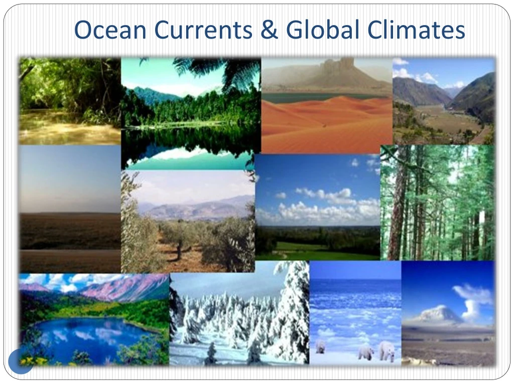
Ocean Currents & Global Climates. Global ocean currents. Ocean Currents. Surface Currents In the upper 1000 m Driven by temperature Also know as the global ocean currents Density Currents Driven by Density More dense water sinks and where they circulate for 500 to 2000 years.

E N D
Ocean Currents • Surface Currents • In the upper 1000 m • Driven by temperature • Also know as the global ocean currents • Density Currents • Driven by Density • More dense water sinks and where they circulate for 500 to 2000 years
Surface Currents • Warm Currents • Driven by Winds (temperature) • Flow away from the equator towards the poles • Cold Currents • Driven by Winds (temperature) • Flow away from the poles towards the equator • Counter Currents • Flow the opposite of the “wind” currents • They “Fill” in the gaps
Global surface currents • Surface currents mainly driven by surface winds • North/ South Equatorial Currents pile water westward, create the Equatorial • Countercurrent • western ocean basins –warm poleward moving currents (example: Gulf Stream) • eastern basins –cold currents, directed equatorward
The Walker Circulation • Mean ascent (rising air), and low surface pressure, over warmest SST associated with deep convection (T-storms) • Subsidence (sinking air), and high surface pressure, in non-convection regions (clear skies) • Equatorial trades blow from high to low pressure, thus the easterly trade winds blow from east to west Low slp High slp
El Nino • During El Nino trade winds slacken • E-W tilt of thermocline & upwelling of cold water are reduced. • SST rises in central/eastern equatorial Pacific • Changes Walker Circulation
Tropical mean state: Sea surface temperature (SST) Indo-Pacific warm pool Eastern Pacific cold tongue 2 basic regions
Ocean Upwelling is an oceanographic phenomenon that involves wind-driven motion of dense, cooler, and usually nutrient-rich water towards the ocean surface, replacing the warmer, usually nutrient-depleted surface water. Ocean upwelling & the Thermocline The thermocline is the transition layer between the mixed layer at the surface and the deep water layer. The definitions of these layers are based on temperature. The mixed layer is near the surface where the temperature is roughly that of surface water. In the thermocline, the temperature decreases rapidly from the mixed layer temperature to the much colder deep water temperature. The mixed layer and the deep water layer are relatively uniform in temperature, while the thermocline represents the transition zone between the two.
Thermocline and wind patterns during the normal Walker Circulation. Cooler, nutrient rich water moves upward from below along the South American coast. Thermocline, Upwelling, & El Nino • Thermocline and wind patterns during the normal El Nino – Southern Oscillation conditions • Cooler, nutrient rich water does not “upwell” to the ocean surface. • Warm surface water piles up along the South American Coast.
El Nino El Niño ’82/83 Mean climate
SST anomalies during El Nino Dec 1982 Sept 1987
ENSO Comparison Animations https://www.youtube.com/watch?v=9rPqIuXlWuA https://www.youtube.com/watch?v=whsQbIwWjBo
The 1997/98 El Nino Jan 1997 Trade Winds
The 1997/98 El Nino Nov 1997 Jun 1997 Trade Winds
The 1997/98 El Nino Nov 1997 Trade Winds
The 1997/98 El Nino Mar 1998 Trade Winds
The 1997/98 El Nino Mar 1998 Jan 1997
The 1997/98 El Nino Jun 1997
The 1997/98 El Nino Nov 1997
The 1997/98 El Nino Mar 1998
What about La Nina? In La Nina conditions SST in the central and eastern equatorial Pacific is unusually cold & easterly trade winds are unusually strong Dec 1982 Nov 1988 La Nina conditions sometimes occur in the year following an El Nino event (e.g. 1988 followed 1987 El Nino)
Typical ENSO period is 3-7 years, but with significant irregularity
The dramatic impacts of ENSO around the globe Flood in Lakeport, California as a result of the 1998 El Nino event Bushfire in Australia as a result of the 1998 El Nino event
The dramatic impacts of ENSO around the globe Flood in Lakeport, California as a result of the 1998 El Nino event Bushfire in Australia as a result of the 1998 El Nino event
Disastrous effects of 1982-1983 El Nino: 1.Australia-Drought and devastating brush fires 2.Indonesia, Philippines-Crops fail, starvation follows 3.India, Sri Lanka-Drought,fresh water shortages 4.Tahiti-6 tropical cyclones 5.South America-Fish industry devastated - decrease in nutrients off Peru- fewer fish (anchovy) 6.Across the Pacific-Coral reefs die 7.Colorado River basin-Flooding, mud slides 8.Gulf states-Downpours cause death, property damage 9.Peru, Ecuador-Floods, landslides 10.Southern Africa-Drought, disease, malnutrition
The Seasonal “Monsoon” • A seasonal reversal of wind due to seasonal thermal differences between landmasses and large water bodies • Orographic lifting often enhances precipitation totals