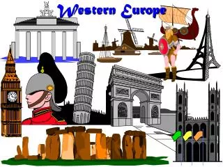
Western Europe Geography
120 likes | 307 Vues
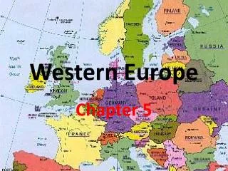
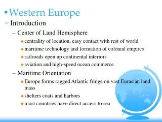
Western Europe Geography. Quick Facts. 1/3 the size of the United States 380 million+ people Most countries are on peninsulas or islands Mountains act as barriers. Climate in Northwestern Europe. Mild climate in Northwestern Europe because of the North Atlantic Drift

Western Europe Geography
E N D
Presentation Transcript
Quick Facts • 1/3 the size of the United States • 380 million+ people • Most countries are on peninsulas or islands • Mountains act as barriers
Climate in Northwestern Europe • Mild climate in Northwestern Europe because of the North Atlantic Drift • North Atlantic Drift = ocean current carries warm water from the Gulf of Mexico across the Atlantic Ocean.
Climate in Southwestern Europe • Climate effected by warm waters of Mediterranean Sea and dry air blown from Africa • Hot dry summers and mild winters
Climate in Central Europe • Continental Landmass affect climate • Strong winds build up over Germany and France which blocks warm air • Mountains/elevation in Central Europe also create a cooler climate
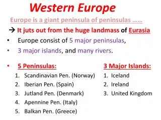
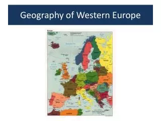
Islands • Thousands of islands lie off the Atlantic coast of Western Europe and in the Mediterranean Sea • Iceland, Malta, and the British Isles are the largest
Islands – British Isles • Two nations make up the B.I. – Ireland and United Kingdom (England, Scotland, Wales, and Northern Ireland) • Most of Ireland is lowland with rolling hills and bogs • Ireland has mountains and the major river is the River Shannon (longest river in B.I.)
Peninsulas • Three penin. jut out from southern part of W. Europe into Mediterranean Sea • Iberian • Spain and Portugal • isolated by the Pyrenees mountains • Apennine • Italy, San Marino, Vatican City • Apennine mountains • – Balkan • Greece
Other peninsulas • Scandinavian • In far north, Sweden and Norway • Jutland • Denmark
Mainland • Three major land regions • Great European Plain • Flat, rolling land • Western Europe's best farmland • Densely populated • Polders – land gained from drained water • Central Uplands • Low mountains and plateaus • Rocky land
Mainland • Alpine Mountain System • Made up of several mountain chains • Alps have some of highest mountains in Europe • Other features • Lochs – deep, narrow lakes (Scotland) • Firths – funnel-shaped bays