Download
1 / 26
260 likes | 419 Vues
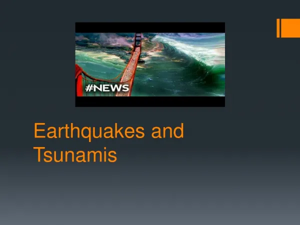
Waves and Tsunamis. Ralph Stephen, WHOI 29th Annual MME Conference April 30, 2005. NE-COSEE OSEI-2 Project with Plymouth Schools Teachers: Mary Lavin, PCIS Derek Strohschneider, PCIS Richard Maichle, PSMS Facilitor: Kim Frashure, Umass Boston

E N D
Waves and Tsunamis Ralph Stephen, WHOI 29th Annual MME Conference April 30, 2005
NE-COSEE OSEI-2 Project with Plymouth Schools Teachers: Mary Lavin, PCIS Derek Strohschneider, PCIS Richard Maichle, PSMS Facilitor: Kim Frashure, Umass Boston Science Coordinator: Nick Micozzi, Plymouth Schools
Curriculum Vitae • B.A.Sc. - University of Toronto, 1974 • Ph.D. - University of Cambridge, 1978 • Woods Hole Oceanographic Institution -1978 to the present - Senior Scientist - Marine Seismology • Research: To observe and explain sound and vibration (0.001 to 100Hz) in the sea (passive and active).
JOIDES Resolution Teacher at Sea Program
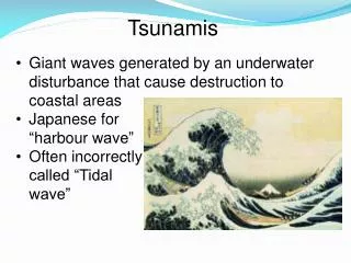
Some Tsunami Fundamentals http://www.ess.washington.edu/tsunami/index.html
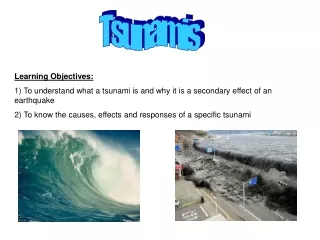
The December 26, 2004 tsunami that was generated from the M9.0 Sumatra earthquake has raised public awareness worldwide of the disastrous consequences of tsunami waves. There are at least five lessons that we can learn from tsunamis.
First, all school children, and particularly school children who live near the coast, should be taught to run to high ground away from the beach if they feel an earthquake or if they observe that the water level lowers dramatically.
Second, tsunamis are an excellent example of the property of waves to transport energy without transporting mass. The water that impacted the beaches in Sri Lanka, for example, did not "come from" Sumatra; just the energy "came from" Sumatra.
Third, a ship at sea in deep water is unlikely to feel the tsunami at all. There are two reasons for this. The first reason is that the amplitude of tsunamis in the deep ocean is quite small, only a few centimeters. For example the NOAA maximum amplitude map for the December 26 tsunami shows a maximum amplitude of about 50cm in the deep Indian Ocean to the west of the Andoman and Nicobar Islands.
http://www.ngdc.noaa.gov/spotlight/tsunami/image/pmelmaxcomputedamplitude.gifhttp://www.ngdc.noaa.gov/spotlight/tsunami/image/pmelmaxcomputedamplitude.gif
In deep water the energy of the tsunami is distributed throughout the water column which is typically 4 to 5 kilometers deep. Since the effective mass is quite large the same energy can be transported with small displacements. As the tsunami approaches shallow water the mass of available water becomes less and the amplitude becomes larger in response to conservation of energy.
The second reason that ships at sea do not feel tsunamis is that the time it takes the sea surface to rise and fall during the passage of the tsunami is from 5 to 20minutes. Such a small change in amplitude over such a long time is unlikely to be felt by a ship.
Fourth, tsunamis provide an interesting demonstration of the relationships between period (P) and frequency(f): P=1/f, and between frequency(f), wavelength (w) and velocity (v): v = w * f . For a tsunami wave with a period of 40minutes the frequency is about 0.0004Hz (cycles per second). The wavelength of a tsunami in deep water is about 500km (see the NOAA animation). From this we can compute the tsunami velocity to be about 200m/s or 450 miles an hour - about as fast as a commercial jet liner.
http://www.noaanews.noaa.gov/video/tsunami-indonesia12-2004.qthttp://www.noaanews.noaa.gov/video/tsunami-indonesia12-2004.qt
Fifth, many people might think that the NOAA tsunami buoys in the Pacific respond in some way to the sea surface response of the tsunami. The buoy, however, is just the platform for communicating the real time data to a satellite. The actual tsunami is measured by a pressure detector on the seafloor. The bottom pressure sensors detect pressure fluctuations with periods longer than about 2minutes and they measure a change in sea level to better than 1mm (compared to a typical tsunami period of 6minutes and a small tsunami amplitude of about 3cm).
Plymouth Wave Lab http://msg.whoi.edu/String_Lab/New_String_Movies.html