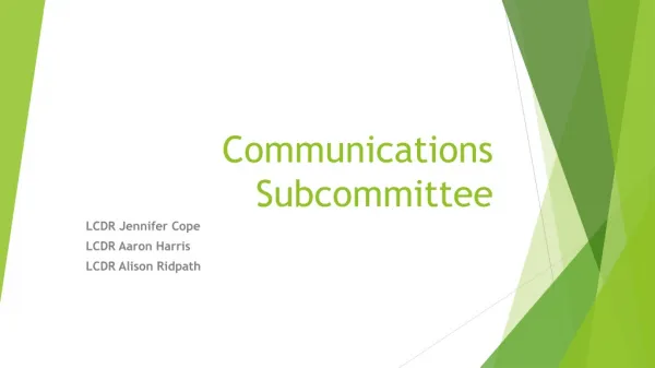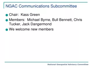
NGAC Communications Subcommittee
110 likes | 143 Vues
The NGAC Communications Subcommittee focuses on internal and external communication to inform members and stakeholders about geospatial policies. Goals include forum development and stakeholder awareness. Target audience includes government leaders and the geospatial community. Key messages emphasize NGAC as a key resource for geospatial issues. Deliverables so far include articles and participation in forums. The Subcommittee is planning metrics for registration, monitoring attendance, and gathering real-time feedback during forums. Next steps involve adding more members, improving external communications, and implementing forum metrics.

NGAC Communications Subcommittee
E N D
Presentation Transcript
NGAC Communications Subcommittee • Chair: Kass Green • Members: Michael Byrne, Bull Bennett, Chris Tucker, Jack Dangermond • We welcome new members
Purpose of the Subcommittee • The NGAC Communications Subcommittee has two purposes: • Internal: creation of a forum that ensures members are informed of the workings of the committee and subcommittees while concurrently transmitting information regarding federal government decisions, actions, and policies that will impact the geospatial community. • External: set the context for the external view of NGAC such that NGAC is recognized by the geospatial community as a valuable resource and source of information and advice on geospatial policy issues related to the federal government.
Communications Subcommittee Goals Internal Focus: • Develop an on-line forum that keeps committee members informed and current on federal geospatial activities • Provide mechanisms for collaboration among committee members • Procedures for internal communication become well understood and the forum is an excellent, transparent, and easy to use tool for members to communication and stay informed. • Committee members believe that the forum helps them to develop cohesive strategies.
Communications Subcommittee Goals External Focus: • Enhance visibility of NGAC • Demonstrate critical importance of geospatial information • Generate stakeholder awareness
Key Messages • NGAC leads the Nation in the development of focused strategies for the creation, management, dissemination of cohesive geospatial data and information across all stakeholder groups. • NGAC is a key venue for providing external stakeholder advice and recommendations on geospatial issues to federal agencies • NGAC focuses on common goals to build a sense of community • NGAC meetings are open and welcome input and participation from stakeholder groups
Target Audiences • Stakeholder groups represented by NGAC members • Geospatial Community of Practice • Geospatial federal community • Government leaders and decision-makers who currently use or could use geospatial information to address issues, solve problems and make decisions • The Administration • Geospatial Community of Interest • The general public
Deliverables to Date • Articles on NGAC in several trade and peer magazines including ArcNews and PERS. • Anne’s and other member’s participation in multiple forum and speeches • A draft op ed piece by Michael Byrne • Input for metrics the Virtual Forum
Before Forum Metrics • While registration is far underway for the Dec. 9th forum, future registration should collect and analyze the following information for each registrant: • Organization • Title • Geographic location of office • Location of geospatial operations (e.g worldwide, New England, New York State, New York city, etc.) • Budget authority (yes or no) • Professional background (as a pulldown menu e.g. natural resource management, disaster response, transportation planning, etc) • Age • At registration registrants should be given a hash tag and hash tag protocols so that tweets can be gathered and monitored during the forum.
During the Forum Metrics • – because building a community requires building a common language • Attendance should be monitored by the information collected during registration • Tweets should be gathered and monitored • Create a way to give real time feed back to presenters – perhaps a wortle of tweets, or of words used by presenters – especially focused on terms used by the DoI, White House and OMB officials at the NGAC meeting such as “evidenced based”, “place based”, “sustainable community development”, “regional economic development planning”, “neighborhood revitalization”, collaboration, “smart planning”, “democratizing data”, “pursuing national priorities with geospatial tools”, “smart practice”, “resilient communities”, etc. • Use www.stamen.com tools to visualize tweets.
After the Forums • Use survey monkey to survey the attendees concerning the following: • Ranking on a scale of 1-10 of the forums’ quality of presenters, timing/pace, content, and structure. • What are the three most important concepts learned during the forum? • Will the concepts learned affect the attendee’s future actions? If so, how? • What topics should be addressed at future forums. • How frequent should forums be held • Use survey monkey to survey the presenters concerning • What did they learn from the audience • How could the forums be improved.
Next Steps • Add more members • Become more proactive in external communications. • Work with Stephen Lowe to implement Forum metrics • Continue to publish article articles both in print and on line (e.g. Barney Krucoff’s article, “place based” article) • Consider alternatives to the DoI site to better facilitate internal committee communication (e.g. a SharePoint site in the “cloud”) • Work closely with the director and producer of the GeoSpatial Revolution