Download
1 / 4
40 likes | 137 Vues
Discover the significance of Public Land Survey System (PLSS) established in 1785 through a non-spatial, descriptive approach. Learn about settlers' role in defending the nation's frontier and how contour lines provide valuable hints.

E N D
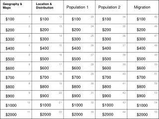
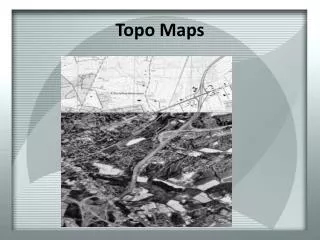
Geography 59 Reading Topo Maps Student Final Projects (3) June 21, 2007
PLSS : Public Land Survey System Originated 1785! Not spatial, but descriptive in nature '...settlers were needed in the western lands to defend the nation's frontier from ongoing native attacks...' PLSS is a land partitioning system