Download
1 / 28
280 likes | 435 Vues
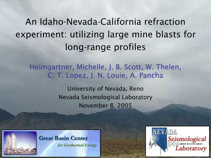
An Idaho-Nevada-California refraction experiment: utilizing large mine blasts for long-range profiles. Heimgartner, Michelle, J. B. Scott, W. Thelen, C. T. Lopez, J. N. Louie, A. Pancha University of Nevada, Reno Nevada Seismological Laboratory November 8, 2005. Presentation Outline.

E N D
An Idaho-Nevada-California refraction experiment: utilizing large mine blasts for long-range profiles Heimgartner, Michelle, J. B. Scott, W. Thelen, C. T. Lopez, J. N. Louie, A. Pancha University of Nevada, Reno Nevada Seismological Laboratory November 8, 2005
Presentation Outline • Purpose of research • Overview of previous seismic refraction experiment • Discuss current results • Consider future work
Purpose of research • Using seismic refraction, obtain basic information about the crustal thickness and velocities of the western Great Basin to contribute to the assessment of geothermal potential in poorly constrained areas. 2.Evaluate the depth of the Sierra Nevada crustal root, as well as contribute to our understanding of Basin and Range tectonics. 3. Show that the use of commercial mine blasts as a seismic source is a cost effective method
Plans and approach 1. Compile existing crustal information • Establish a facility for long-range crustal surveys • Develop new regional seismic-refraction technology • Collect three new crustal refraction profiles • Integrate new and prior results: create a regional crustal model that is available to others
Seismic refraction • Seismic waves radiate from the source (mine blasts and earthquakes in this experiment) • Critically refracted waves “bounce” off of layers within the earth, due to contrasts in acoustic impedance (rock type). • Crust and Moho: large contrast in material, large acoustic impedance. • When using the refraction method a reversed profile is necessary to identify dipping horizons
NWL seismic refraction survey • Recorded May 23, 2002 • Deployed 199, single channel, portable seismographs over a 450-km distance • From Battle Mountain, NV to Auburn, CA • Seismic source: Barrick GoldStrike mine blasts • Blast arrivals are visible over 300 km from source Barrick GoldStrike mine blast, 8-30 Hz filtering
Results: NWL refraction experiment 1. Thin crust near Battle Mountain, NV • 19-23 km-thick over a 150 km-wide region • Surrounded by more typical 30 km-thick crust • Supported by the less than 80 km, Pn crossover distance • Deep crustal root beneath the Sierra Nevada Mountains • Greater than 50 km-thick near Auburn, CA • The root is centered west of topographic crest • Supported by Pn delays of 4-6 seconds
2004 Idaho-Nevada-California (INC) seismic refraction transect
INC seismic refraction transect • Seismic source: mine blasts (200,000 lb) and small local earthquakes (magnitude 1.5-3.8) • 24-bit single channel, portable seismograms (Texans) connected to 4.5 Hz geophones • Deployed 411 Texan instruments along a 600 km transect (spaced approx. 1.5 km apart) • Instruments recorded for 96 hours (four 24-hour periods) Barrick GoldStrike mine, Battle Mountain, NV (above) Texan Instruments (right)
INC transect: Barrick GoldStrike mine blast • Recorded August 19, 2004 • 90,000 kg (200,000 lb) ANFO ripple fired blast (less than 0.5 s interval) • Videotaped blast for accurate timing • Instruments placed near the mine • Short crossover distance of less than 95 km - concurs with NWL refraction experiment Pg 5.9 km/s Pn 7.4 km/s SW NE
Barrick GoldStrike blast: Reduced-time 7.8 km/s SW NE Pn Pg
INC transect: Paso Robles 2.8 earthquake • Recorded August 22, 2004 • Earthquake magnitude 2.8 • Recorded signal 600 km from the earthquake source • Cross-over distance of at least 200 km (traveling through crustal root?) Pg=6.0 km/s Pn=7.2 km/s
INC transect: Tom’s Place, CA earthquake • Recorded August 19, 2004 • Earthquake magnitude 1.6 • Shallow epicenter located directly beneath the transect line • Provides crustal velocities along the interior of the transect • Earthquake visible 400 km from the source
Future work: location of new experiment Barrick GoldStrike Auburn Fresno Paso Robles Tom’s Place
Future work • Continue to process data from the INC and NUT experiments • Correlate crustal thickness/velocity with geothermal productivity • Continue to make results available to others
Conclusions • Showed that large mine blasts are effective to 600 km • Can collect data in regions where not previously surveyed • Thin crust at Battle Mountain, NV • Within a limited region of 150 km, 19-23 km-thick crust • Supported by crossover distances from the INC and NWL experiments • Geothermal potential from extensional tectonics • Deep root under the Sierra Nevada • Add to our understanding of Basin and Range tectonics • Integrate old and new crustal data • Select survey techniques for consistency
Acknowledgements This material is based upon work supported by the U.S. Department of Energy under instruments numbered DE-FG07-02ID14211 and DE-FG36-02ID14311, managed through the DOE Golden Field Office. The instruments used in the field program were provided by the PASSCAL facility of the Incorporated Research Institutions for Seismology (IRIS) through the PASSCAL Instrument Center at New Mexico Tech. Data collected during this experiment will be available through the IRIS Data Management Center. The facilities under the IRIS Consortium are supported by the NSF under Cooperative Agreement EAR-0004370 and the DOE National Nuclear Security Administration. The California Integrated Seismic Network (USGS Cooperative Agreement 04HQAG0004) provided earthquake locations used in the experiment. We would like to thank Barrick GoldStrike, Round Mountain and Cortez mines for their cooperation and willingness to help.


![C[ i ][j]=A[ i ][1]+B[1][j]](https://cdn2.slideserve.com/3988576/slide1-dt.jpg)