
SlideServe
Menu
Préférences
© SlideServe · v2026

Enhancing Wildfire Response with GIS and Computer Mapping Technologies

gerek avatar
22 diapositives · 378 Views · Jul 29, 2014

In the realm of wildfire incident response, the integration of computer mapping, Geographic Information Systems (GIS), and remotely sensed imaging has revolutionized operations. Prior to computer technology, maps were manual and time-consuming, leading to inefficiencies in critical situations. Today, advanced GIS standards developed by the National Wildfire Coordinating Group enable swift, accurate data collection and dissemination, enhancing fire perimeter mapping and situational awareness. This seamless integration supports ground operations, improves safety, and ensures effective incident management in wildfire situations.
Enhancing Wildfire Response with GIS and Computer Mapping Technologies - slide 1
01 / 22Enhancing Wildfire Response with GIS and Computer Mapping Technologies
1 / 17

Télécharger la présentation

Enhancing Wildfire Response with GIS and Computer Mapping Technologies
Une image / un lien ci-dessous est fourni (tel quel) pour télécharger la présentation

Politique de téléchargement : le contenu du site vous est fourni TEL QUEL pour votre information et votre usage personnel ; il ne peut être vendu, concédé sous licence ni partagé sur d’autres sites sans l’accord de son auteur.Le contenu vous est fourni TEL QUEL, pour votre information et votre usage personnel uniquement. Téléchargez la présentation en cliquant sur ce lien. Lors du téléchargement, si vous ne parvenez pas à télécharger une présentation, l’éditeur a peut-être supprimé le fichier de son serveur.Pendant le téléchargement, si vous ne parvenez pas à obtenir une présentation, le fichier a peut-être été supprimé par l’éditeur.

F I N

Plus de contenu associé

Transcription de la présentation
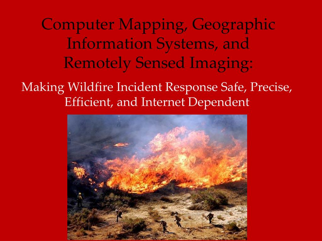
  1. Computer Mapping, Geographic Information Systems, and Remotely Sensed Imaging: Making Wildfire Incident Response Safe, Precise, Efficient, and Internet Dependent

  2. Before There Was a Computer… There was a map, compass, and pencil People drew maps by hand

  3. Before There Was a Computer… Then they hand-delivered them … Or mailed them … Problem: Not Very Speedy (sorry USPS)

  4. But Wildland Fire Is Dangerous Time is Critical. Ground-truthing is risky.

  5. Wildfire Incident Products are Unique • Fire Perimeter Mapping – how do you do that?

  6. ComputerAge • Computer mapping and the associated technologies has increased the speed and accuracy of getting quality intelligence to the field and to the chiefs.

  7. Wildfire Incident Response Adopts GIS • National Wildfire Coordinating Group Geospatial Task Group has developed standards for computer mapping, GIS development, and associated technologies for wildfire incident response • GIS Standard Operating Procedures (GSTOP) clarify the GIS business needs and functional standards for incidents.

  8. NWCG Geospatial Task Group Training GPS for Fire management, GISS Standards GSTOP Manual Tools FIMT, GPS, RS, lots more Symbol Sets  www.gis.nwcg.gov

  9. Data for Wildfire Incidents: Fire Perimeter It all starts here. Collected by GPS field observers, or by air.

  10. Data for Wildfire Incidents: Fire Perimeter Associated information also collected with GPS

  11. Map Products for Wildfire Incidents: Operations Map This has everything on it the Incident Commander thinks necessary for incident briefing. It is often the briefing map.

  12. Map Products for Wildfire Incidents: Operations Map It is often used as a briefing map.

  13. Map Products for Wildfire Incidents: Incident Action Plan (IAP) Not really a map product – but it sometimes has a map in it. Published daily.

  14. Map Products for Wildfire Incidents: Air Operations Map For use by pilots. Depicts temporary flight restrictions.

  15. Map Products for Wildfire Incidents: Fire Progression Map Looks good – informative about fire growth and spread. Good for media purposes. PIO Map sometimes.

  16. Map Products for Wildfire Incidents: Lightning Strikes Lightning strikes caused hundreds of fires this season

  17. Map Products for Wildfire Incidents: Modeling Fire Spread WFDSS Models probable spread of fire.

  18. Internet Products for Wildfire Incidents: MODIS Moderate Resolution Imaging Spectroradiometer. Really helpful for detecting, following, and predicting progression.

  19. Internet Products for Wildfire Incidents: GEOMAC

  20. Internet Products for Wildfire Incidents: KML Thanks Google Earth!

  21. Post-Fire Products for Wildfire Incidents: Burn Area Severity.

  22. The End