Maps and Tracks
Engage students in an exploration of their school environment by creating detailed maps. They'll draw maps identifying key areas like fences, garden sheds, trees, paths, ponds, and reeds. Students will search for animal signs, using a key to document their findings on the map. This hands-on activity encourages observation and critical thinking. Discuss the importance of these maps for future classes, highlighting how documenting locations of animal signs can aid in ongoing environmental studies and enhance outdoor learning experiences.

Maps and Tracks
E N D
Presentation Transcript
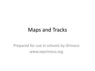
Maps and Tracks Prepared for use in schools by Orinoco www.oxorinoco.org
Today you will . . . • Draw a map of an area of the school • Search for any signs of where animals have been • Use a key to record these signs on your map
Fence Garden shed Tree Path Pond Reeds
Why might next year’s class need to know exactly where you found animal signs?