Download
1 / 8
80 likes | 174 Vues
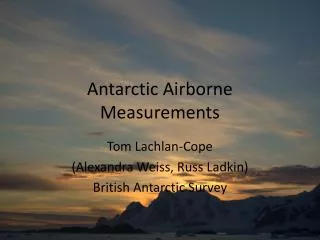
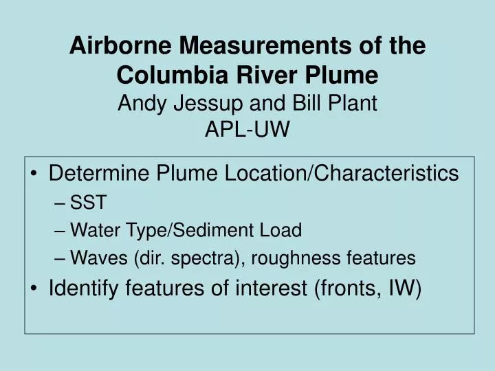
Airborne Measurements of the Columbia River Plume Andy Jessup and Bill Plant APL-UW. Determine Plume Location/Characteristics SST Water Type/Sediment Load Waves (dir. spectra), roughness features Identify features of interest (fronts, IW). Airborne Sensors. Infrared Surface Temperature

E N D
Airborne Measurements of the Columbia River PlumeAndy Jessup and Bill PlantAPL-UW • Determine Plume Location/Characteristics • SST • Water Type/Sediment Load • Waves (dir. spectra), roughness features • Identify features of interest (fronts, IW)
Airborne Sensors • Infrared • Surface Temperature • Interpolated maps from calibrated radiometer • High resolution imagery (FY08) • Microwave • Surface Velocity / Current • Surface Roughness / Waves • Ocean Color / Hyperspectral (FY08) • Water type / Sediment load • Hyperspectral radiometer • Color Video Camera using RGB separation
Infrared Imagery and SST Maps 30 km x 30 km, 5 km spacing 2-3 hours flight time O(100 m)
Seasonal Location of PlumeTraditional View Surface Salinity [Hickey et al., 2005]
40 km x 40 km Survey Area [Hickey et al., 2005]
Surface Wave Breaking Due to Internal Waves along Plume Front [Nash & Moum, OSU web site]
Conclusion • Practical daily survey area • 40 km x 40 km • 4-6 hours • Plume has local and regional effect • Local scale: roughly 40 km x 40 km • Regional 50 km offshore, 100 km along shore • Coordinated daily aircraft survey • Map plume characteristics • Identify features of interest