Captivating Aerial Views: Storm Systems and Landmarks from Around the World
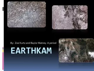
Explore stunning aerial images taken from the EarthKAM project, featuring captivating storm systems in the suburbs of Chicago, ethereal cloud formations over the English Channel, and the breathtaking beauty of the Comoros Islands and Aldabra Islands. This collection includes views of significant landmarks like the Europaturm in Frankfurt and quaint residential structures in Shellefleet, Isle of Wight. Each image presents a unique perspective of our planet, highlighting both natural phenomena and human-made marvels.

Captivating Aerial Views: Storm Systems and Landmarks from Around the World
E N D
Presentation Transcript
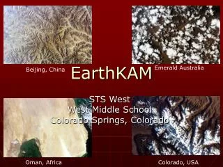
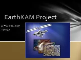
EarthKAM Project By Nicholas Emken 5 Period
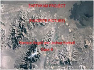
Favorite Picture Storm System Illinois Chicago Suburbs Downtown Chicago Lake Michigan
Frankfurt, Germany 49°93’ N, 8°77’ W Seligenstadt Zeppelin Museum River Maine Altocumulus Clouds Europaturm Frankfurt
Europaturm • Television broadcasting structure • 295 metres tall • Upper portion rotates • Formerly housed restaurant • Built in 1979 • Tallest structure in Frankfurt
Shalfleet, Isle of Wight, England 50°45’ N, 1°42’W The Solent Shalfleet Altostratus Clouds England London Newtown Isle of Wight English Channel England France The Solent Portsmouth Shalfleet The Isle of Wight English Channel
Shalfleet Up Close Shalfleet from the air A field outside Shalfleet One of Shalfleet’s many quaint residences Shalfleet’s single petrol station/ general store/ newsstand
Incheon District, South Korea 37°42’ N, 127°12’ E Daenanji-do North Korea Seoul South Korea Daebu-do Incheon West Sea Incheon Cirrus Clouds West Sea
Comoros Islands, Comoros Cosmoeldo Group 9°32’, 46°34’ Comoros Islands Aldabra Islands Astove Island Giraud Seamount Assumption Island Indian Ocean Cirrocumulus Clouds
Comoros Islands Africa Comoros Islands Madagascar Indian Ocean
A Close Look at the Comoros Islands Lagoon at Aldabra Island Airport lounge at Assumption Island • Tortoises • Frigate Birds
Orbital Mechanics • Minimum velocity needed to maintain • Earth orbit • Gravity curves theoretically straight flight path into an orbit • Case A: Orbit path steeper than curve of Earth surface • Case B: Orbit path parallel with curve of Earth surface • Case C: Orbit path’s curve shallower than curve of Earth’s surface
Works Cited • "Earth's Cities at Night: Photos From Space." Space, NASA Information & News | Outer Space Flight Videos & Pictures | Astronomy, Solar System Images | Space.com . N.p., 11 Nov. 2016. Web. 22 Nov. 2011. <http://www.space.com/>. • "EarthKAM Images." EathKAM. Sally Ride Science, n.d. Web. 11 Nov. 2015. <earthkam.ucsd.edu>. • "Google Earth." Google Earth. Version 6. Google, n.d. Web. 11 Nov. 1927. <http://www.google.com/earth/index.html>. • "Wikipedia." Wikipedia. Wikimedia Foundation, n.d. Web. 27 Nov. 2011. <http://www.wikipedia.org/>. • MLA formatting by BibMe.org.