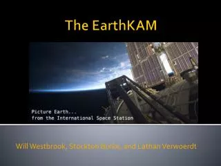
EarthKAM Presentation
Join students at Cypress Falls High School in Houston, TX, as they engage with remote sensing through Earth's KAM program. This interactive experience allows students to analyze images captured by astronauts onboard the International Space Station. Using special window-mounted cameras, students explore recognizable features on Earth, such as the Aral Sea, and practice their analytical skills by discussing types of shots, color patterns, visible landforms, and geographical locations. Dive into the unique intersection of geography and technology with remote sensing education.

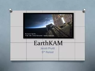
EarthKAM Presentation
E N D
Presentation Transcript
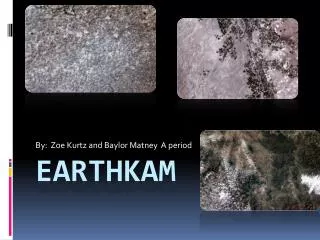
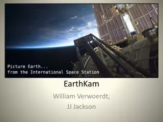
EarthKAM Presentation Cypress Falls High School Houston, TX
Remote sensing and the Geographer’s Eye Astronaut taking a photo from space.
Astronauts on the ‘station’ set up the camera in a special window.
TDRS DomSat Station Image Data (Ku-Band) + Control Files & Telemetry (Ku-Band) Image Data, Control Files TDRS Ground Station White Sands, NM JPL Pasadena, CA Camera Control Files Image Data UCSD San Diego, CA Johnson Space Center Houston, TX Image Routing
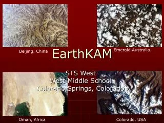
During EarthKam missions students take remote sensing photos of places on Earth such as the Aral Sea
Recognizable features?? • Using a photo you have taken, • analyze the image with • these questions. • 1. Type of shot? • 2. Orientation? • 3. What patterns/colors • do you see? • 4. What landforms are • recognizable? • 5. Names of places? • Name of regions • /countries in photo? Gray area Wavy line Straight lines Dark and light blue