Download
1 / 20
200 likes | 217 Vues
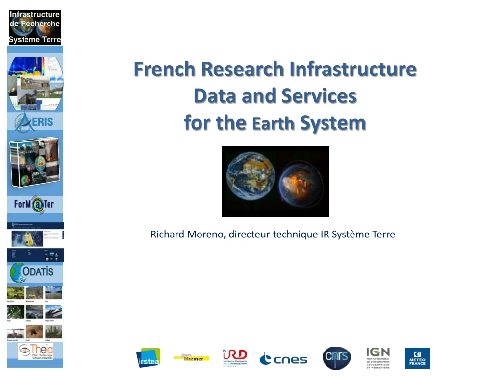
French Research I nfrastructure Data and Services for the Earth System. Richard Moreno, directeur technique IR Système Terre. ‘Plan de développement ’. Groupes de réflexion / travail Comité de direction GT_TECH : réunions toutes les 3 semaines environ Interpole ENVRI FAIR.

E N D
French Research Infrastructure Data and Services for the EarthSystem Richard Moreno, directeur technique IR Système Terre
‘Plan de développement’ • Groupes de réflexion / travail • Comité de direction • GT_TECH : réunionstoutes les 3 semaines environ • Interpole • ENVRI FAIR
‘Plan de développement’ • Activitésprioritaires & encours • Catalogue & modèle de données & thesaurus & ontologies • Démarrédans le cadre Interpole • Authentification & autorisation • DOI • Licences (Interpole) • Outilsentrepôts de données et diffusion avancée (dataverse) • ~datalake • Infrastructures / architecture => preparation réponse PIA3
Status of the Data and Service Hubs • 4/5 Data and Services Hubs (AERIS, FORM@TER ODATIS, THEIA & PNDB) • Very different • Not the same level of FAIRisation • Data from French / European satellites, but also from other countries (NASA, JAXA, USGS, NOAA, …) • In-situ data, models, … • Each Hub is distributed among several data & services centers • The current state of the Data & Services Hubs is to be taken into account • The volume of data is increasing • A mandate to open up to the downstream sector • A few figures • ~20 Data & services infrastructures • 30 CES : scientific expertise consortium • 50 000 TB (2017) - 100 0000 TB (2022) • 350 scientists, data scientists, engineers, technicians - 170 FTE full time equivalent • In progress & in discussion: • 5th data & Services hub on biodiversity : PNDB
Contexte des infrastructures • EOSC • Incontournable • Fortes sources de financement • Implication des ESFRI dans EOSC • INFRANUM • Incontournable • Directive des Ministères • DIAS ESA & WeKEO • A considerer • Certains AO pourraient imposer l’utilisation des DIAS • Intégrer WeKEO nous permettrait de nous ‘rapprocher’ des données météo et climat’ et de disposer éventuellement de moyens cloud commerciaux à proximité pour les usages aval • Les infrastructures en place dans les pôles • A considérer • Sur la durée et selon ce qui sera faisable avec INFRANUM (contraintes du monde HPC) • PEPS • Utilisé par • THEIA • Form@terdans le cadre projetEtalab • Compatible CREODIAS – pas avec les autres DIAS… • CNES HPC & Datalake • Missions spatiales : gros volumes
‘Technical harmonization’ • Paradigm change from CNES point of view • Satellite data is not anymore the main source of data • The user community is not only the scientists close to space agencies (eg PIs) • => Classical standardization forums (CEOS, GEO, ESA DCB, NASA, OGC, ISO, …) are still useful • Standardization forums of Science / Earth Science • Interpole working group • Created in 2014 to promote technical exchange between the Data & Service Hubs • A two-days workshop every 6 months • Example of topics • Long term preservation, Authentication & Authorization, catalogues, formats, DOI, Licenses, processing, … • RDA – Research Data alliance • 95 working groups ! • RDA Europe deeply involve in EOSC • H2020 : ENVRI+ / ENVRI FAIR in an ESFRI context • ENVRI & ENVRI FAIR similar to Interpole at European level • Work on progress to combine both activities • GO FAIR initiative in the context of EOSC • Germany + France + The Netherlands • Interoperability of processing chains ?
Réponses à AO Européens • PHIDIAS • Réponse à AO CEF (mi-novembre) • WP1 : Management • WP2 : Compute and storage workflow management • WP3 : Technical coordination, development of the common system • WP4 : Intelligent screening of large amount of satellite data for detection and identification of anomalousatmospheric composition events • WP5 : Big data EO: processing on-demand for environment monitoring • WP6 : Ocean Use case • WP7 : Dissemination, Impact and Sustainability Path • Pas plus d’informations ici car confidentiel
Overarching principle of operation • Main motivation of the “Earth System” Research Infrastructure • not to re-invent the wheel • but to take benefits on existing initiatives by improving the standardization and the interoperability of the systems already in place. • Base developments on open source software with wide communities • Improve transdisciplinarityand across domain interoperability. • Provide services on both space data AND in-situ data.. • Take into account the evolution of the computing infrastructure landscape • in France (Infranum) and in Europe (EOSC, DIAS, ...) • and to be able to integrate into this ecosystem. • Re-use of what has been done in each Data and Services Hubs (ODATIS, THEIA, …). • In order to encourage this re-use and to push for the sharing of practices, a working group (named Interpole) was set up four years ago. • technical experts from each Hub to explore technical topics of common interest • DOI, Long Term Preservation, Catalogue, Format, SSO, processing, … • this work takes in account and implements the recommendations established by the Working Groups of the Research Data Alliance (RDA).
Inspiringmodels • NASA EOSDIS hub • Common Metadata Repository / Unified Metadata Model • Combined with their progressive migration toward cloud computing • Hub Pangeo (~datacube) • Already used for atmosphere, ocean and climate data • GeoDAB: GEOSS data hub • EuroGEOSS, AmeriGEOSS, NextGEOSS • CKAN & cloud computing capabilities • ESA DCB Initiative: ‘Network of Exploitation platforms’ • And their cloud initiatives: DIAS, TEP/MEP/MAP • ENVRIfair H2020 project • Naturally linked to EOSC • French Data&Services Hubs are part of the consortium • IAGOS, ACTRIS, EURO-ARGO, EPOS, EMSO, ANAEE, SeaDataCloud, … Opensource Opensource Opensource
Processing Topology • Increase of data volumes • => better to bring the processing close to the data • Not for everyone; downloading data is still an option • Cf Copernicus dissemination statistics • Very interesting for newcomers (eg startup, …) • Mandatory for very big volumes e.g. NISAR • Need to combine data from different compartments • => have data very close from each other • In the same cluster • e.g. NASA EOSDIS evolution (AWS) & Copernicus CGS evolution • In a limited number of cluster linked with high speed network • e.g. : WeKEO, Current CGS architecture, AERIS/ESPRI, INFRANUM (AC), • EOSDIS (DAAC) • Distributed in several data centers not linked with HS network • Use ad-hoc technologies to give unity to the system • e.g. Ceph object storage / IRODS / … Increasing distance
Help desk - User support - Developer support - Project support - Animation centers Other data - Linked data - socioeconomic - Social media Catalogue Thesaurus & Knowledge & Tagging services Data model Identity server Hosted processing & online data http Execution Management Service Application Deployement & Execution Service Advanced visualisation services DOI server Users Data Producers & distributors Web services Pre-analysis Services: Datacube CDS Data & services e.g WPS, WMS Jupyter, … Structured observations Data Access Portal • Data curation • Data production • Re-processing • Expertise for HD "Datalake" Data management opensearch SNO, IR, TGIR, ESFRI Satellite Harvester AD Third Parties observations GEO-DCAT Data & processing chains NASA EODIS NASA coverage Copernicus Data repository & publication service « Multi-source big data » Infrastructure Other processing resources Individual observations Partners Long Term Preservation In situ CDIAS CNES, IFREMER, IGN, … - SSO & AAI & DOI - QoS surveillance - Usage analytics Transversal services
Key ideas • Strong and operational help desk • To support users • e.g. allow feedback on datasets • e.g. present locally : CART • To help set up new projects : Development support • Support to data and processing migration • Capacity building : AI, Cloud computing, coding language, orchestration, DevOPS, … • Collocate data as far as possible • To ease the combination between data from different compartments • As a consequence of the “bringing the processing close to the data” paradigm • Datalake technologies – smooth/efficient data management tool • CNES datalake| ENS(Elastic Node Server)/dhus (ESA) | AERIS/ESPRI (Ceph, …), NASA EOSDIS, … • Operational and trustworthy catalogue of data & services • Foster interoperability between processing platforms • DIAS, EOSC, INFRANUM, PRACE, … • Not techno push • Need from users and IR ST strategy • Quality of service • IR ST system monitoring / analytics • FAIRisation of data
Data: IR ST data catalog • A unique, operational catalog • Containing all data metadata and pole services • Like the NASA EOSDIS CMR (https://earthdata.nasa.gov/about/science-system-description/eosdis-components/common-metadata-repository) • Requires a unified data model (~ UMM NASA & HMA ESA) • Taking into account spatial data, in-situ, models, ... • Based on ISO and Inspire recommendations for example • Work in progress as part of the ‘Interpole’ catalog WG • Vocabularies / ontologies • adoption and maintenance of commonly agreed vocabularies and ontologies, • set up of standardized vocabulary servers • With interfaces • interoperable • INSPIRE, CEOS opensearch, Linked data / RDF, Geo DCAT, WIGOS / WMO standards, ... • Adaptable (nothing is fixed) • Two step search: collections then granules • CEOS connected data assets, GEOS, NASA EOSDIS, ESA FedEO, ...
Processing • Centralized / common way for multi-source treatments • => Cf INFRANUM • Offer cloud compatible technology solutions • Ability to launch projects on DIAS and EOSC • => processing interoperability (ex: EOPEN or OPENEO or NextGEOSS) • To answer calls for projects UE and ESA • Compatibility of RI interfaces with DIAS and EOSC • Propose (after user needs analysis) • An innovative solution for data analysis like: • datacube + Jupyter • Pangeo • Knowledge graph • SeaScope (Ocean Datalab) • Strong Artificial intelligence capacities
Computing Infrastructures • Target = INFRANUM • Progressive but determined approach • Migration when data is used in a transverse IR ST framework (SCO example) • Migration when IT means become obsolete • Some datasets may not be migrated • Old and little used • Necessary proximity of the producer in case of a reasonable data volume: case of certain in-situ data=> concept of technical cache • Ability to be distributed across multiple sites • At the beginning the IR ST will still be spread over several CDS themselves distributed over several sites • On opportunities to be able to switch to external means like DIAS or EOSC • Eg for European projects • Need for adaptation & fine analysis • INFRANUM HPC : not compatible with the IR ST way of working • => need for adaptation of INFRANUM centers to be able to cope with HPDA or HTC • All IR ST compute services may not be able to join INFRANUM • Even if there is an evolution of INFRANUM • Analysis & discussion with INFRANUM are necessary
Computing Infrastructures • INFRANUM not operational within 3 years • Target is also EOSC • How is it compatible ? • Intermediate step on relatively limited means • Temporary infrastructure to choose • CINES : EUDAT => EOSC • CALMIP or anyregional or National (IN2P3, …) INFRANUM center • CNES • IFREMER, IGN, any IR ST CDS infrastructure • DIAS • EOSC EUDAT, EGI, … • A way to learn and validate the consideration of user needs • Software for the intermediate stage • Limit specific developments (at least for this step) • Catalog and data hub (CKAN, NASA CMR, CNES datalake, ...) • 'Modern' means of processing data: Datacube + Jupyter / Pangeo / ... • Rapid Implementation of Development / Migration Support service
Computing Infrastructures • Il est illusoire de penser que l’IR ST pourra être concentré sur un seul et unique MesoCentred’INFRANUM. • Mais une fois INFRANUM en place la distribution de l’IR sera limitée aux MésoCentres régionaux et nationaux • Bretagne • Haut De France • Calmip (Occitanie) • … • Avec prise en compte des MesoCentres nationaux • IDRIS, CINES, IN2P3 • Notamment pour la combinaison des données très volumineuses • Et / ou besoin de très gros moyens de calculs • D’où une architecture distribuée • Pour les données • Et les traitements • Avec les solutions techniques afférentes