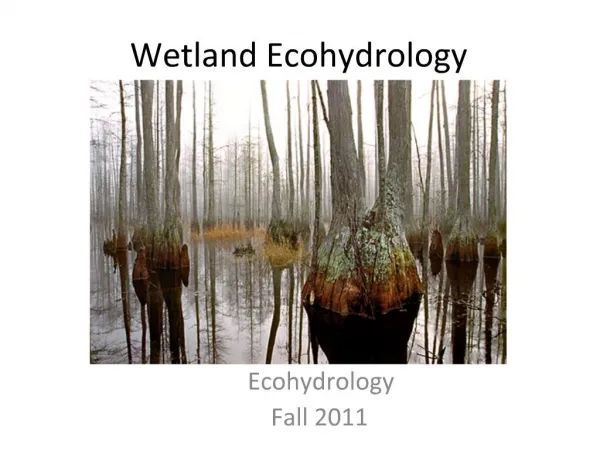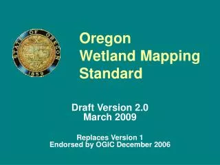
Oregon Wetland Mapping Standard
110 likes | 222 Vues
Explore the Oregon Wetland Mapping Standard 2.0 for enhanced wetland data integration and consistency. This draft version replaces the older standard 1.0 and aims to streamline wetland mapping efforts in Oregon. It sets the guidelines for mapping wetlands, hydric soils, waterbodies, vegetation, conservation areas, and more. Various agencies and organizations contribute to this collective effort to improve wetland datasets. The standard includes information on wetland inventories, data sources, mapping basics, and metadata requirements. Join the initiative for better wetland mapping in Oregon.

Oregon Wetland Mapping Standard
E N D
Presentation Transcript
Oregon Wetland MappingStandard Draft Version 2.0 March 2009 Replaces Version 1Endorsed by OGIC December 2006
Goals • Consistent and compatible • Easy to integrate • Easy to disseminate • Does not preclude different datasets, but shared datasets must meet minimum OWMS.
Why a Revision? • FGDC: Draft Federal Wetlands Mapping Standard, September 2008 • DSL: Administrative Rules, January 2009 • OSU & TWC: Oregon Wetland Layer • Oregon Explorer Wetlands Portal • OWMS Version 1 inadequate
Current wetland datasets in Oregon • NWI – wetlands • NRCS -- hydric soils • NHD -- waterbodies and springs • OSU -- vegetation and conservation • TWC -- conservation • OWEB -- wetland restoration projects (OWRI) • ODFW -- Conservation Opp Areas from WCS • DSL – fill & removal, mitigation, LWIs, delineations • USFS, BLM, USFWS, OPRD: wetlands, vegetation, condition
Local Wetland Inventories (LWIs) Miscellaneous wetland mapping Agencies, NGOs Theses, reports Plot data Wetland delineations “Enhanced NWI”
LWIs (Corvallis) Blue = NWI, Red = LWI Available data: Cowardin HGM Veg Condition Conservation Status
Wetland Mapping Cowardin HGM code Vegetation Conservation Status Data Sources
Informal Review of Draft Version 2 • DSL • ODOT • OWEB • INR-ORNHIC • TWC • Consultants
Basics • Projection -- Oregon Lambert • Source Imagery – CIR min. 1m (FGDC) • Interim: NAIP @ 0.5 m • Horizontal Accuracy – min. 5 m (FGDC) • Vertical Accuracy – not specified (FGDC) • TMU – 0.2 ha, 0.5 ac (FGDC) • LWIs & WCPS (DSL) – 0.04 ha, 0.1 ac • Metadata -- Oregon Standard
Sitename Data source & yr Creator & yr Method Data accuracy Cowardin Cowardin source HGM HGM source Poly source ID Field verification Data source type Minimum Attributes
Hydro barriers Artificial drain Altered flows Wetland mgt Cover type Veg species Veg condition Veg source & yr LSW Goal 5 or 16 SAC Developed Optional Attributes