Download

1 / 21
210 likes | 356 Vues
The Impact of Erosion from Water Runoff. By: Nicolas Wieland and Tony Nixon. Overview. Farm in Scott County, Minnesota Erosion occurs on a cattle pasture Drain tile directs water flow Additional surface water flow All water drains to a wetland.

E N D
The Impact of Erosion from Water Runoff By: Nicolas Wieland and Tony Nixon
Overview • Farm in Scott County, Minnesota • Erosion occurs on a cattle pasture • Drain tile directs water flow • Additional surface water flow • All water drains to a wetland
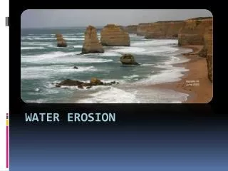
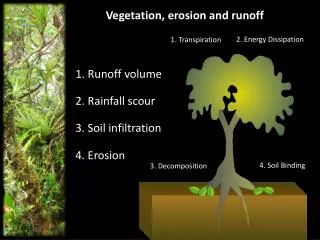
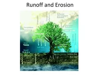
Erosion • Erosion - is the process by which soil and rock are removed from the Earth's surface by natural processes such as wind or water flow, and then transported and deposited in other locations • Most noticeable source of erosion: water runoff/drainage • Influencing factors to erosion: vegetation cover, topography, soil structure, and quantity of water
Agricultural Practices • Livestock Grazing • Tillage • Hillside Farming • Drain Tile
Materials • Total Station • Prism Rod • Global Positioning System • Geographic Information System • Microsoft Excel • Field Notebook • Pitchfork • Knee Boots
Methods: Data Collection • Visual inspection of site • Revealed slight long-term erosion and very severe erosion • Total Station for collecting elevation information • Recorded Horizontal Angle, Horizontal Distance, Vertical Distance, and sufficient notes • Benchmark set as 100 feet • 4 groups of foreshots: undisturbed terrain, slightly eroded terrain, 2 sets to define the aggressive erosion
Methods: ArcMap Analysis • IDW interpolation of digital elevation models (DEM) • Predicted • Actual • Use break lines in interpolation for increased accuracy • Gully edge for actual elevation model • Gully centerline for predicted elevation model • Predicted elevation model excluded the points from the bottom of the gully • Raster calculator subtracting cell values of the DEMs • Surface volume calculation • Contributing area determination and calculation
From Tile Exit to Bottom • 430 feet long • 16.5 vertical feet • 5 vertical feet from south edge to tile exit
Results • 8,659.7 cubic feet removed • 2.9 cubic feet not removed • 94 acres contributing to runoff
Analysis • IDW vs. Spline interpolation • Dirt 'not' eroded • Non-erodablematerials
Implications • 12 inches of snow + 0.5 inch of rain = 683,000 cubic feet (5.1 million gallons) • Melt and drain in 5 days • Impermeable frost layer or saturated ground = 1.5 cubic feet per second (average) • Reasonably double, or more, at times
Geeky Stuff • 2 feet high column of water exerts 1 psi. • Assume water flows at 2 feet/second = 1.5+ feet cross section of water = 216+ square inches • Pressure adds up quickly