Download
1 / 19
190 likes | 326 Vues
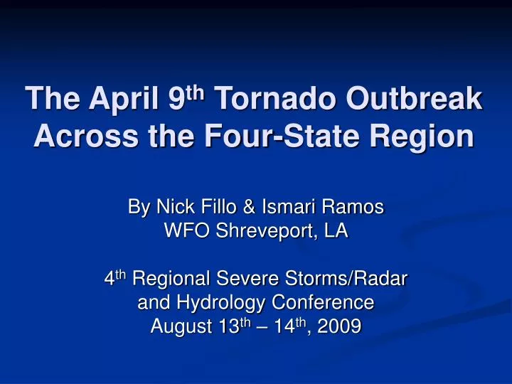
The April 9 th Tornado Outbreak Across the Four-State Region. By Nick Fillo & Ismari Ramos WFO Shreveport, LA 4 th Regional Severe Storms/Radar and Hydrology Conference August 13 th – 14 th , 2009. What we’ll cover…. Brief tornado climatology of the region.

E N D
The April 9th Tornado OutbreakAcross the Four-State Region By Nick Fillo & Ismari Ramos WFO Shreveport, LA 4th Regional Severe Storms/Radar and Hydrology Conference August 13th – 14th, 2009
What we’ll cover… • Brief tornado climatology of the region. • The significance of this event: The largest tornado outbreak for the four-state region in 9 years. • Explore the atmospheric conditions leading up to the outbreak and what triggered the event. • Where the tornadoes occurred. • The anti-cyclonic Center Point, AR tornado. • The Shreveport / Bossier City / Barksdale AFB tornado. • A few photos of the damage from these storms.
Outbreak Details • Strongest outbreak in the Shreveport forecast region since the Easter Sunday Outbreak of 2000. • This storm system was ultimately responsible for producing more than 60 tornadoes across 11 states, from Texas to the Carolinas. • The event in the Shreveport forecast region started around 6 PM on the 9th as an upper level trough passed over a very pronounced dry line. • The dry line progressed unusually far to the east, passing to the east of the Dallas Metroplex. • 13 tornadoes affected 12 counties & parishes. • No fatalities in the Shreveport forecast region, and only a few injuries. • 3 EF-0, 4 EF-1, 4 EF-2 & 2 EF-3 storms.
Atmospheric Conditions 7 PM April 9th 2009 (10/00Z) 500 Mb Height & WV Imagery
Atmospheric Conditions 7 PM April 9th 2009 (10/00Z) Surface Analysis Warm Front Dry Line
Atmospheric Conditions 7 PM April 9th 2009 (10/00Z) RAOB Data
Atmospheric Conditions 7 PM April 9th 2009 (10/00Z) RAOB Data
Tornado Tracks • 1. McCurtain Co. OK, Sevier & Howard County AR Tornado • 2. Center Point, AR Tornado (Anti-cyclonic Tornado) • 3. Hughes Springs, TX Tornado • 4. Linden, TX Tornado • 5. Cass County, TX Tornado • 6. Miller County, AR Tornado • 7. North Bossier Parish, LA Tornado • 8. Union Parish, LA Tornado • 9. Harrison County, TX Tornado • 10. Harrison Co. TX, Caddo & Bossier Parish, LA Tornado • 11. Webster Parish, LA Tornado • 12. Lincoln Parish, LA Tornado • 13. Jackson & Ouachita Parish, LA Tornado
Center Point, AR Tornado • This tornado was the result of a thunderstorm which split near the city of Dekalb in Bowie County TX. • While the right half of the storm continued to the east, the left half pushed northeast at around 80 mph. The left half was rotating anti-cyclonically. • While radar imagery indicated strong rotation along the path of the storm, no damage was observed until the town of Center Point. • This rare anti-cyclonic tornado produced EF-2 damage, with estimated winds of up to 125 mph. • Tornado path was 2.5 miles long, and was several hundred yards wide. • Based on damage, tornado was only on the ground for about 3 minutes.
Center Point, AR Tornado Cyclonic Rotation Anti-Cyclonic Rotation
Shreveport/Bossier/BAFB Tornado • Touching down in eastern Harrison County TX and lifting up in southeastern Bossier Parish. • Had the longest track for a tornado in the Shreveport forecast region at 38.5 miles, and was up to 500 yards wide at times. • Storm was on the ground continuously for about an hour. • Most notably, this tornado passed just north of Cross Lake, clipped the southern part of downtown Shreveport, and directly through housing and aircraft operations areas of BAFB. • Storm overturned rail cars and caused widespread damage to homes in the Lakeview Subdivision. • Rated an EF-2 based on the damage it caused.
Shreveport/Bossier/BAFB Tornado Cyclonic Rotation
A Few Damage Photos Caddo Parish, near I-220 along Cross Lake. Lakeview Subdivision, Caddo Parish Two-story Water Treatment Plant, Howard County, Dierks, Arkansas
Questions? or Comments?