Soil Carbon Assessment via FIA Plot Locations: Challenges and Approaches
40 likes | 191 Vues
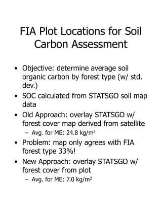
This document outlines the approach for assessing soil organic carbon (SOC) by forest type using FIA plot locations on STATSGO soils. The objective is to determine the average SOC, reported in kg/m², while addressing issues with previous mapping methodologies, which only aligned 33% with FIA forest types. A new method is proposed, integrating STATSGO with FIA plots, yielding an average SOC of 7.0 kg/m². Key challenges include data accessibility, particularly when MUIDs have fewer than three owners, leading to delays and reduced confidence in research results.

Soil Carbon Assessment via FIA Plot Locations: Challenges and Approaches
E N D
Presentation Transcript
FIA Plot Locations for Soil Carbon Assessment • Objective: determine average soil organic carbon by forest type (w/ std. dev.) • SOC calculated from STATSGO soil map data • Old Approach: overlay STATSGO w/ forest cover map derived from satellite • Avg. for ME: 24.8 kg/m2 • Problem: map only agrees with FIA forest type 33%! • New Approach: overlay STATSGO w/ forest cover from plot • Avg. for ME: 7.0 kg/m2
FIA Plot Locations for Soil Carbon Assessment FIA plots on STATSGO soils
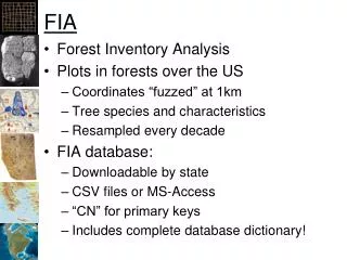
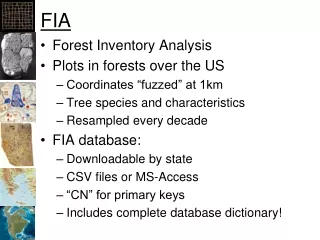
FIA Plot Locations for Soil Carbon Assessment • What do we need? • Table containing: • FIA PlotID • STATSGO MUID (soil unit identifier) • Why? • Use STATSGO data table: SOC by MUID (for several approaches, several depths) • Use FIA Plot table: forest type group, acreage expansion factor • Need the new table to cross-reference and summarize data • Problem- can’t get it
FIA Plot Locations for Soil Carbon Assessment • Why can’t we get it? • If an MUID contains FIA plots from fewer than three owners, can’t get it. • If an MUID is small enough to contain only one plot, can’t get it. • If a forest type falls on only one MUID, can’t get it. • Result: • Research delayed • Less control over process • Less confidence in results • Not repeatable • Not verifiable • Not a workable research approach