Download
1 / 14
140 likes | 212 Vues
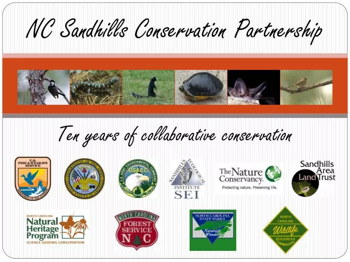
NC Sandhills Conservation Partnership. Ten years of collaborative conservation. NC Sandhills Conservation Partnership.

E N D
NC Sandhills Conservation Partnership Ten years of collaborative conservation
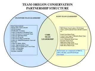
NC Sandhills Conservation Partnership • The mission of the NCSCP is to coordinate the development and implementation of conservation strategies for the red-cockaded woodpecker,other native biota, longleaf pine, and other ecosystems in the Sandhills of North Carolina.
Reserve Design Working Group Synthesize biological information and create a vision to guide long-term conservation of native Sandhills ecosystems. • Identify the most important areas to conserve from a biological perspective. • Identify buffers to adequately conserve the resources and ecological processes of protected areas. • Identify connections between important areas that promote gene flow and wildlife movement. • Provide this information to other working groups for implementation.
Reserve Design: Current and Potential Uses • Green Growth Toolbox Implementation • Analysis of Conservation Efforts • Land Acquisition Planning/Priority-setting • Restoration Planning/Priority-setting • Targeting Private Landowners & Private Lands Incentive Programs • Implementing CCA and CCAA for Federal and State at-risk species
Reserve Design Data Layers • Tier 1 Resources– Sensitive Wildlife and Natural Resource Areas • Tend to be smaller in size – e.g. rare species habitat areas • In general, more detailed knowledge about resources • Tier 2 Resources– Wildlife Habitat Landscapes • Tend to be larger in size – e.g. wildlife corridors, habitat management areas • In general, less detailed knowledge about resources