Download
1 / 20
200 likes | 394 Vues
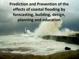
March 12-15 th Coastal Flooding Event. Setup. 1032 high over Nova Scotia...with 994mb low approaching the region from Mid Atlantic. Strong easterly gradient ahead of approaching coastal low and warm front. 19 mb press drop in 24 hrs. (Moderate)

E N D
Setup • 1032 high over Nova Scotia...with 994mb low approaching the region from Mid Atlantic. • Strong easterly gradient ahead of approaching coastal low and warm front. • 19 mb press drop in 24 hrs. (Moderate) • 2 1/2 to 3 ft tidal departures needed for minor and 3 ½ to 4 ft for moderate coastal flooding
Land Obs • KJFK • 3pm-9am E 25mph g35mph • 9am-4pm E 30-35mph g50mph • 4pm-10pm E 40-50mph g 60-70mph • KLGA • 6pm-2am E 25mph g35mph • 2am-8am NE 30-35mph g40mph • 8am-10pm NE 35mph g45mph • KISP • 2am-10am E 20-25mph g30mph • 10am-1pm NE 25-30mph g40mph • 1pm-10pm ne 35-40 g50mph
Marine Obs • 44025- 24hrs of gale force winds • 12pm-8pm E 30-40 g 50 kt • Seas built to 20 to 25 ft with about 10 sec period • 44040- 12hrs of gale force winds • 12pm-10pm NE 30-40 g 50 kt • Seas built to 10 to 12 ft
What happened? • Widespread moderate coastal flooding with tidal departures of 3 to 5 ft.
Coastal Flood Watches • Number of Watches Issued 17 • Number of Events 12 • Watches with an event 12 • Watches without an event 5 • POD 1 • FAR .294 • CSI .706 • Avg. Lead Time 28.4 • Coastal Flood Warnings • Number of Warnings Issued 14 • Number of Events 12 • Warnings with an event 12 • Warnings without an event 2 • POD 1 • FAR .143 • CSI .857 • Avg. Lead Time 7.6 • Note: Six short fuse warnings were issued at 4:25 pm Saturday for the subsequent evening high tides.
Summary • An intensifying gradient developed between slowly deepening low pressure tracking up the Mid-Atlantic Coast and strong high pressure anchored over the Canadian maritimes. This created a strengthening ene flow over successive high tide cycles…peaking out during the afternoon/evening of March 13th with rapid tidal rises through the evening high tide. • As has been the case with previous strong pressure fall/gradeint cases…the magnitude of tidal departures was under done by all guidance. But unlike most of the other cases of recent memory the forcing(pressure falls and strengthening ene flow) continued through the time of March 13th high tide. No windshift or pressure rises as high tide was being approached.