Abandoned Mine Lands GIS Data Server
20 likes | 217 Vues
Abandoned Mine Lands Geographic-Information-System Data Server for the Upper-Midwest United States with Emphasis on the Ohio River Basin.

Abandoned Mine Lands GIS Data Server
E N D
Presentation Transcript
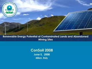
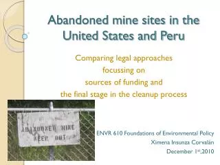
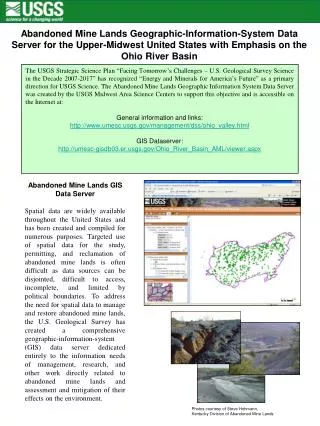
Abandoned Mine Lands Geographic-Information-System Data Server for the Upper-Midwest United States with Emphasis on the Ohio River Basin The USGS Strategic Science Plan “Facing Tomorrow’s Challenges – U.S. Geological Survey Science in the Decade 2007-2017” has recognized “Energy and Minerals for America’s Future” as a primary direction for USGS Science. The Abandoned Mine Lands Geographic Information System Data Server was created by the USGS Midwest Area Science Centers to support this objective and is accessible on the Internet at: General information and links: http://www.umesc.usgs.gov/management/dss/ohio_valley.html GIS Dataserver: http://umesc-gisdb03.er.usgs.gov/Ohio_River_Basin_AML/viewer.aspx Abandoned Mine Lands GIS Data Server Spatial data are widely available throughout the United States and has been created and compiled for numerous purposes. Targeted use of spatial data for the study, permitting, and reclamation of abandoned mine lands is often difficult as data sources can be disjointed, difficult to access, incomplete, and limited by political boundaries. To address the need for spatial data to manage and restore abandoned mine lands, the U.S. Geological Survey has created a comprehensive geographic-information-system (GIS) data server dedicated entirely to the information needs of management, research, and other work directly related to abandoned mine lands and assessment and mitigation of their effects on the environment. Photos courtesy of Steve Hohmann, Kentucky Division of Abandoned Mine Lands
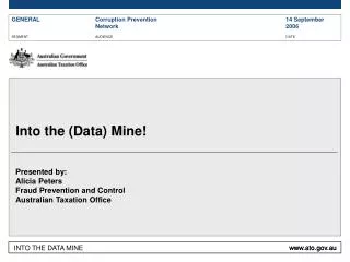
Uses and Benefits of the USGS Abandoned Mine Lands GIS Data Server Abandoned mine lands data have many users, including: federal, state, county, and city governments; universities; mining companies, engineering consulting companies; emergency managers; and private citizens. Uses of abandoned mine lands GIS data includes: study and assessment of environmental effects, permitting applications by regulatory agencies and private companies, and support for site restoration activities. The Abandoned Mine Lands GIS Data Server can assist in these uses by allowing the user to: Export data directly into other applications Directly access external databases through hyperlinks Build data queries Process data with decision-support system tools For more information contact: J.C. Nelson USGS UMESC jcnelson@usgs.gov Ralph Haefner USGS Ohio Water Science Center rhaefner@usgs.gov Pete Cinotto USGS KY Water Science Center pcinotto@usgs.gov Paul Buszka USGS Indiana Water Science Center pmbuszka@usgs.gov December, 2008 Map of study area showing the USGS Midwest Area States of Illinois, Indiana, Kentucky, and Ohio as encompassed by the Ohio River Basin