Download
1 / 14
140 likes | 266 Vues
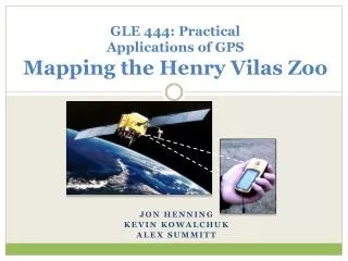
GLE 444: Practical Applications of GPS Mapping the Henry Vilas Zoo. JON HENNING KEVIN KOWALCHUK ALEX SUMMITT. Presentation Overview. Introduction Methods and Data Data Analysis Results and Discussion Conclusion and Recommendations. Introduction.

E N D
GLE 444: Practical Applications of GPS Mapping the Henry Vilas Zoo JON HENNING KEVIN KOWALCHUK ALEX SUMMITT
Presentation Overview • Introduction • Methods and Data • Data Analysis • Results and Discussion • Conclusion and Recommendations
Introduction • Objectives: Create a virtual ‘Vilas’ zoo experience • Motivation: Single map to pre-plan a visit • Accuracy: 1-10 m (~5 m) • Audience: Henry Vilas Zoo visitors • Location: Madison, WI
Methods and Data • Equipment: • 3 hand-held GPS units, digital camera, laptop • Duration: • 27 waypoints • 10-15 minutes a piece, total: 7 hours • Type of Data: • Position coordinates • Digital photographs • Written descriptions
Precision Comparison of Longitude and Latitude • Want to determine if we have better measurements of either latitude or longitude • Since all data is clustered around 1:1, there is no bias
Lessons Learned • Interference: trees! • Dress for weather • Bring extra batteries • TIME!
Specifications Met • Most points fell within the accuracy range of 1 – 10 m • Four points in particular varied greater than the expected 1 – 10 m accuracy • One point could not be taken due to interference • Google Earth showed accurate locations to interpret between different animal exhibits and locations.
Final Results Google Earth