Weather Analysis Plots for Heavy Rain Prediction
Detailed analysis of potential temperature, winds, and dew point for heavy rain cases in Taiwan with forecast plots from WRF model indicating a drying trend in south Taiwan and increased likelihood of heavy rain.

Weather Analysis Plots for Heavy Rain Prediction
E N D
Presentation Transcript
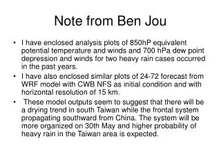
Note from Ben Jou • I have enclosed analysis plots of 850hP equivalent potential temperature and winds and 700 hPa dew point depression and winds for two heavy rain cases occurred in the past years. • I have also enclosed similar plots of 24-72 forecast from WRF model with CWB NFS as initial condition and with horizontal resolution of 15 km. • These model outputs seem to suggest that there will be a drying trend in south Taiwan while the frontal system propagating southward from China. The system will be more organized on 30th May and higher probability of heavy rain in the Taiwan area is expected.