Download
1 / 64
640 likes | 665 Vues
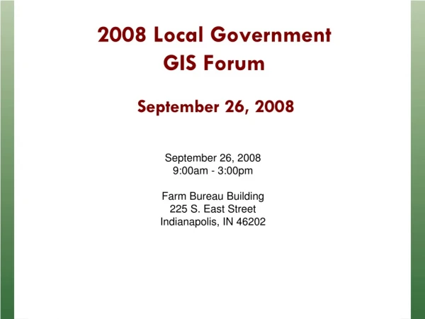
Join us at the Farm Bureau Building in Indianapolis for a day filled with insightful presentations, roundtable discussions, and networking opportunities focused on Geographic Information Systems (GIS) and its impact on local government initiatives in Indiana.

E N D
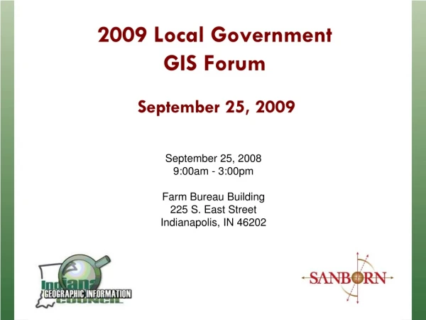
2009 Local Government GIS Forum September 25, 2009 September 25, 20089:00am - 3:00pmFarm Bureau Building225 S. East StreetIndianapolis, IN 46202
Agenda • Welcome (9:00) • Statewide initiative reports • Indiana GIS Response Corps • Break (10:15 to 10:40) • IndianaMap Q&A • Lunch / 2010 Census Update – (Noon to 1:00) • Roundtable Discussions • Summary and Concluding Remarks • Dismissal (3:00)
Phil Worrall, IGIC Executive Director State and Local GIS Initiatives
Indiana Geographic Information Council, Inc. • What is IGIC? • IGIC is a nonprofit 501(c)3 • IGIC is a membership organization • IGIC is administered by an elected board of directors • IGIC is the statewide coordinating body for Indiana geographic information Our Mission: To lead the effective application of geographic information in Indiana
Who We Are • Representative organization of professionals and stakeholders (GIS, surveyors, utilities, universities, non-profits, government, private industry, and more) • 300+ General Members • 31 Elected Directors • 100+ Active Volunteers • 3,000+ Volunteer Hours Annually • 2 ½ staff
IGIC - Committees & Workgroups • IGIC Organization Committees • Executive Committee • Finance Committee • Elections Committee • Communication Committee • Recognition Committee • Membership Committee • Conference Committee • Education & Outreach Committee • Legislative Committee • Indiana GIS Response Corps • IndianaMap Framework Data Groups • IndianaMap “Steering” Committee • Data Sharing Committee • Data Integration Workgroup • Streets and Addresses Workgroup • CAD/GIS Integration Workgroup • Orthophotography Workgroup • Boundaries-Cadastre-PLSS Workgroup • Elevation-Geodetic Control Workgroup • Waters Workgroup
Benefits of Membership Membership provides individuals and organizations a means of staying connected, informed and engaged with the GIS community in Indiana. YOUR SUPPORT IS KEY TO IGIC’S SUCCESS Benefits of Membership • Network with other geospatial professionals • Help shape statewide GIS policies and positions • Gain access to Indiana's GIS user community • Receive members-only rate for annual GIS Conference and Educational Events • Attend professional development activities • Receive the monthly Indiana GIS newsletter • And Much More…
We’re Information-Rich • The IGIC website gets over half a million hits per month • Averages 16,000 hits per day www.igic.org
We’re a Portal to Online Maps Interactive online maps are part of the future of distributing geographic information... moving GIS from the enterprise to society.
Ramona GIS Inventory Indiana's GIS Inventory managed by IGIC/GIO but updated by LOCAL Date Stewards.
Ramona GIS Inventory Indiana's GIS Inventory managed by IGIC/GIO but updated by LOCAL Date Stewards. (LIKE HERDING CATS)
Ramona GIS Inventory IGIC/UITS Recent Telephone Survey Results...
ONE MAP FOR INDIANA IndianaMap Our Cornerstone Initiative is the One Map for IndianaIt’s Statewide It’s Regional It’s Local It’s Yours! Enable improved government service to citizens, and an enhanced ability for citizens to stay informed and to engage in the democratic process
IndianaMap Projects The IndianaMap is a Portfolio of Projects
Parcels & Ownership Streets & Addresses PLSS Water Boundaries Elevation Orthophotography Geodetic Control IndianaMap Framework Data BASE MAP Framework data make up the common “base map” Framework data are those needed by the most people,most often,to support the most applications (defined by Indiana Code 4-23-7.3-3)
IndianaMap Website www.indianamap.org - Hosted by IGIC
IndianaMap Viewer http://inmap.indiana.edu/viewer.htm Hosted by the Indiana Geological Survey 17
IndianaMap Web Map Services (WMS) Hosted by the Indiana Geological Survey
The IndianaMap Spatial Data Portal http://gis.iu.edu Multiple Single Single Hosted by Indiana University - UITS 19
Building the IndianaMapIGIC Grants & Special Projects • IndianaMap Data Sharing Initiative (74 of 92 counties) Federal Geographic Data Committee CAP Grant($75,000) • National Hydrography Dataset (NHD) Updates: GNIS Updates and Local-Resolution hydro data development ($154,000) • Essential Facilities Data for the IndianaMap(USGS Partnership Grant $62,500) • Indiana Broadband Mapping • 2010 – 2012 Statewide Ortho Program (RFP Development)
IGIC Grants & Special Projects National Hydrography Dataset (NHD) Update Projects a. Statewide Geographic Names (GNIS) Updates (USGS Partnership Grant $25,000) b. Upper Eel River Basin Hydrography Data Development (USGS Partnership Grant $29,000) c. Great Lakes Initiative Area (GLI) Hydrography Data Development (IDEM $100,000) Local-Resolution NHD = 1:2,400 or 1:1,200 Scale Hydro Model
IGIC Grants & Special Projects Essential Facilities Data for the IndianaMap(USGS Partnership Grant $62,500)The Polis Center, Indiana Geological Survey (IGS), Indiana Department of Homeland Security, and four (4) county Local Emergency Planning Committees (LEPCs) to pilot the data steward and maintenance activities for these data. HAZUS Essential Facilities (Care Facilities including Hospitals and Nursing Homes, Schools, Fire Stations, Police Stations, and Emergency Operation Centers) for all 92 Indiana counties and integrate these into the IndianaMap.
IGIC Grants & Special Projects 2010 – 2012 StatewideOrthophotography Program
Steve Hook, IGIC President IGIC Corporate & Committee Initiatives
Discussion Topics IGIC Corporate Business 2009-2011 Strategic Plan Urban Orienteering Event IGIC Committee Business
IGIC Corporate Business Strategic Planning Review 2009-2011 Strategic Plan Includes 7 Goals: Advocacy—establish permanent programs for funding Continue work with State GIO fulfilling IGIC’s requirements per Indiana Code Coordinate development and dissemination of data on IndianaMap Grow IGIC’s membership & expand benefits Continue outreach & education Increase partnership building Continue management of IGIC corporate activities in a professional and accountable manner
IGIC Corporate Business Urban Orienteering Event First event held on August 15th, in downtown Indianapolis Event hosted by Jeff Coates with TrueNorth A Pilot Project for future fundraising events Participants included both IGIC members, Corporate Partners, and one Boy Scout troop A special orienteering event sub-committee is being formed to plan two different events in 2010
IGIC Committee Business Conference Committee (Brooke Gajownik) Planning continues for 2010 State GIS Conference—Bloomington, February 23 & 24 Projected attendance of 350 Anticipated full conference schedule— 9 workshops & 44 session presentations September 14th—Call for abstracts
IGIC Committee Business Elections Committee (Bill Holder) Committee chaired by past President Bill Holder Open Call for Nominations for 2010 Board of Directors Election of Board of Directors Elected Board members rotated in at February’s Annual Business Meeting
IGIC Committee Business Membership Committee (Fiona Solkowski) 2009 IGIC Goal: DOUBLING the IGIC Membership Refer A Friend Campaign—$100 Gift Card Develop new Membership benefits Develop new Sponsorship opportunities Regional dinner meetings Development of an IGIC Publication
IGIC Committee Business Recognition Committee (Kent Park & Phil Worrall) Committee is associated with the Conference Committee Helps select Excellence in GIS Awards The David C. Ford Special Achievement Award—New for 2009
IGIC Committee Business Education and Outreach Committee (Kevin Mickey) 2009 Local Government GIS Forum—September 25th 2009 Seminar/Webinar Series—Remaining for 2009: October 2, Seminar: Grants and Other Funding Sources for GIS (Phil Worrall, IGIC) October 23, Webinar: Coding Tips and Tricks in ArcGIS Server (Dave Estes and Chris Tallman, Allen Co. GIS) Receive Certificates for CEU Credits for attending IGIC seminars/workshops
IGIC Committee Business Indiana GIS Response CORPS Committee (Christina McCullough) A new IGIC Committee CORPs members are “volunteer” geospatial personnel located across Indiana Assists both IDHS and local Emergency Management staff responding to an emergency event Indiana a possible URISA’s GIS CORP pilot candidate
IGIC Committee Business IndianaMap Steering Committee (Bill Holder, Rick Hill, & Jim Sparks) Former IndianaMap Committee renamed IndianaMap Steering Committee Provides guidance and oversight of the IndianaMap website and datasets Formation of subcommittees The IndianaMap Statewide Data Integration Plan (Denver Harper) IndianaMap Viewer Development Priorities (Rick Hill) Data Download and Web Service Priorities (Anna Radue) IndianaMap Framework data development priorities (Rick Hill) Indiana GIS Inventory Updates and Maintenance (Dave Nail)
IGIC Committee Business Data Sharing Committee (Shaun Scholar) Contact counties not participating in State Data Sharing Agreement Working to define the next steps in our data sharing initiatives Determine how best to encourage data stewards to update their GIS data holdings in Ramona (working with our IndianaMap GIS Inventory Subcommittee)
IGIC Committee Business Orthophotography Workgroup (Jim Stout) Developed planning and technical document for a new statewide orthophotography and elevation data program Developed IndianaMap Statewide Orthophotography brochure Currently developing RFP for 2010-2012 Statewide Orthophotography Program
IGIC Committee Business Boundaries—Cadastre—PLSS Workgroup (Lorraine Wright) Support 2009 Data Sharing Initiative Project—development of a statewide county boundary shapefile Continue work on Tie Card Pilot Project Pursue funding Developed How-to webinar Reorganization of the workgroup webpage
IGIC Committee Business CAD-GIS Integration Workgroup (Mike Condre) Preliminary submittal design (CAD specifications) for State Data Sharing layers Development of guidelines and template data for local jurisdictions
IGIC Committee Business IGIC/ISPLS Elevation-Geodetic Control Workgroup (Tom Mahon) Indiana Height Modernization Project Project funding strategies Supports and leverages INDOT CORs Stations Project Outreach opportunities
IGIC Committee Business Legislative Committee (Phil Worrall/Dave Coats) IGIC/IndianaMap funding strategy House Bill 1561—High Speed Internet Service Initiative Legislative Advocacy agenda Letter in support for release of Census Bureau addresses Meeting with our Elected Officials Grass-Roots Initiative
IGIC Committee Business Waters Workgroup (Mike Martin) National Hydrography Dataset (NHD) Plan MOU document—USGS: Indiana NHD Stewardship RFP document—Upgrading the NHD to local resolution Grant opportunities
Indiana GIS Response Corps Christina McCullough, Indiana National Guard
Mission • To create an inclusive and representative statewide network of response individuals and organizations dedicated to: • enhancing accessibility to geospatial applications, technologies, and products which assist Emergency Management Practitioners in their decision making process in the event of an emergency. • delineate all-hazards emergency management planning, response and assessment considerations.
Mission, Cont’d • Create a network for professional exchange and access to technical expertise. • Encourage interactions and collaborative initiatives among those conducting Emergency Support. • Promote the standardization of methods to increase the access and the value of data among many users.
Objectives • Provide geospatial support to the Indiana Department of Homeland Security (IDHS) in the event additional GIS resources are required to support emergency related missions across Indiana. • Identify geospatial personnel, technologies, and products that are appropriate for the emergency event. • Define processes and recommended data sources and technologies to support response and recovery phases of an emergency event.
Who Are We? • Indiana Geographic Information Council Committee http://www.igic.org/committees/giscorps.html • First Official Meeting, April 16, 2009 • Monthly Conference Call • GIS Subject Matter Experts (25) • GIS subject matter experts from State, County, Local, Private, Public and Educational agencies.
IDHS Support Information • IDHS • http://www.in.gov/dhs/index.htm • District Coordinators • http://www.in.gov/dhs/3240.htm • Listing of City / County Emergency Management Directors • http://www.in.gov/dhs/files/Sanitized_Compact_Directory.pdf
Training • Indiana GIS Volunteer Corps • Incident Command System (ICS) 100 Training • Incident Command System (ICS) 200 Training • Introduction to the National Incident Management System (NIMS) (IS-700.a) • Introduction to National Response Framework (NRF) (IS-800) • National Infrastructure Protection Plan (NIPP) (IS-860.a) • Indiana Department of Homeland Security • Handling of Protected Critical Infrastructure Information (PCII) • Handling of Chemical-terrorism Vulnerability Information (CVI) under the Chemical Facility Anti-Terrorism Standards (CFATS) Program • WebEOC Introduction