1 / 3

USACE lidar and imagery aid to oil spill ecosystem response

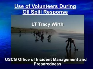
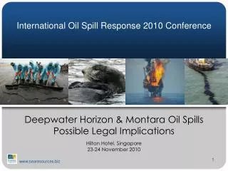
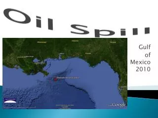
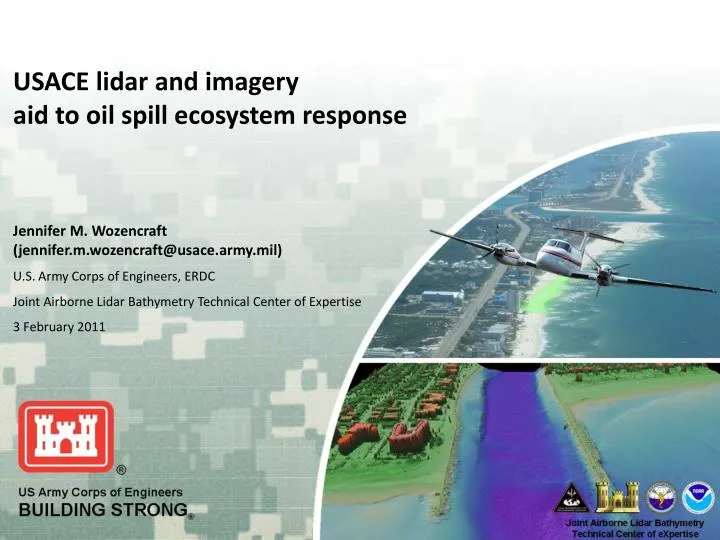
USACE lidar and imagery aid to oil spill ecosystem response. Jennifer M. Wozencraft (jennifer.m.wozencraft@usace.army.mil) U.S. Army Corps of Engineers, ERDC Joint Airborne Lidar Bathymetry Technical Center of Expertise 3 February 2011. 2009 – 2011 JALBTCX surveys.

ike
Télécharger la présentation

USACE lidar and imagery aid to oil spill ecosystem response

An Image/Link below is provided (as is) to download presentation Download Policy: Content on the Website is provided to you AS IS for your information and personal use and may not be sold / licensed / shared on other websites without getting consent from its author. Content is provided to you AS IS for your information and personal use only. Download presentation by click this link. While downloading, if for some reason you are not able to download a presentation, the publisher may have deleted the file from their server. During download, if you can't get a presentation, the file might be deleted by the publisher.

E N D

Presentation Transcript


  1. USACE lidar and imagery aid to oil spill ecosystem response Jennifer M. Wozencraft (jennifer.m.wozencraft@usace.army.mil) U.S. Army Corps of Engineers, ERDC Joint Airborne Lidar Bathymetry Technical Center of Expertise 3 February 2011

  2. 2009 – 2011 JALBTCX surveys bathy/topo lidar, aerial imagery, hyperspectral imagery

  3. Potential applications potential applications

More Related