Download
1 / 18
180 likes | 288 Vues
Explore the severe flooding issue in San Salvador due to overpopulation, analyze data acquisition challenges, identify main drainage rivers, flood spots, and rainfall impact, and suggest strategies for future flood prevention measures.

E N D
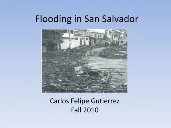
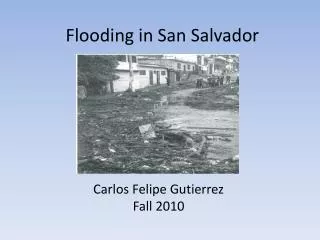
Flooding in San Salvador Carlos Felipe GutierrezFall 2010
Outline • The problem • Objectives • Obtaining main drainages • Data Acquisition • Analysis • What was achieved • What has to be done
The Problem • Severe flooding causes fatalities and property damages every year • Overpopulation of the city from 0.5 million to 1.5 million • People living in constant danger
Objectives • Identify main drainage rivers • Identify major flood spots • Obtain values of rainfall that would cause flood for a particular place
Data Acquisition • National Service of Territorial Studies (SNET) • Very limited data:- 1 stream gage station- 3 continuous rain gage stations- 3 intermittent rain gage stations • Bureaucracy • Reading studies made by SNET (Water related disasters)
Rain quantity creates floods http://www.youtube.com/watch?v=ue1vJPS7cPs
What was achieved • Identified the drainage rivers-Acelhuate River and Las Cañas River-Manmade drainages were not available for me • Identified major flood spots-La Malaga, La Vega, Santa Anita-ComunidadTutunichapa-Soyapango close to Las Cañas River-Colonia Escalon, Mejicanos (North west) • Realized how limited the data is
What needs to be done • Stream gages throughout the city • 24 hour continuous rain gages • Estimate how the impervious cover is growing • Make the data available!!! • More strict design
Question? • https://webspace.utexas.edu/cfg328/www/Term%20Paper.htm • azsakufel@mail.utexas.edu