Geospatial analysis of soil erosion rates using RUSLE and GIS model in Bong-
0 likes | 50 Vues
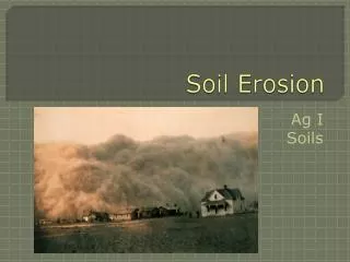
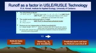
The Accelerated rate of soil erosion is a severe and continuous endemic environmental problem of the farmers in Barangay Adtuyon. The present study of soil erosion is carried out in the upper stream of Muleta watershed of Pangantucan, Bukidnon locally called Bong-bong sub-watershed. It is fact that the surface runoff of seasonal rainfall is intense in this area due to its sloping terrain characteristics. Average annual soil erosion has been estimated based on the five parameters defined in the Revised Universal Soil Loss Equation (RUSLE) and with the help of Geographical Information
Télécharger la présentation 
Geospatial analysis of soil erosion rates using RUSLE and GIS model in Bong-
An Image/Link below is provided (as is) to download presentation
Download Policy: Content on the Website is provided to you AS IS for your information and personal use and may not be sold / licensed / shared on other websites without getting consent from its author.
Content is provided to you AS IS for your information and personal use only.
Download presentation by click this link.
While downloading, if for some reason you are not able to download a presentation, the publisher may have deleted the file from their server.
During download, if you can't get a presentation, the file might be deleted by the publisher.
E N D
Presentation Transcript

More Related