Download
1 / 33
370 likes | 644 Vues
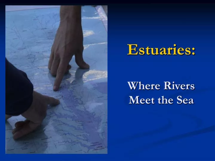
Estuaries: Where Rivers Meet the Sea. The Nature of an Estuary. Collision of fresh river water flowing seaward and ocean water pushing inland. From the Latin verb aestuare which means “to heave, boil, surge, or be in commotion”. Are All Estuaries the Same?.

E N D
The Nature of an Estuary • Collision of fresh river water flowing seaward and ocean water pushing inland. • From the Latin verb aestuarewhich means “to heave, boil, surge, or be in commotion”
Are All Estuaries the Same? • Common on passive margins of continents. • Four types: • drowned river valleys (coastal plain estuaries) • bar-built • tectonic • fjords http://www.onr.navy.mil/focus/ocean/habitats/estuaries1.htm
Geologic History of our Chesapeake Bay 500,000 years ago to 10,000 years ago • Only two river valleys, Susquehanna & James River • These ancient river channels today are shipping channels in the Chesapeake Bay. • The two underwater portions of the Chesapeake Bay Bridge-Tunnel are sunk into these ancient river valleys. Chesapeake Bay Bridge Tunnel
Geologic History of the Bay 10,000 years ago • Current interglacial period begins. • Glaciers and polar ice caps melt. • Sea level rises more than 325 feet backing up freshwater flowing from Susquehanna and James at the mouth of the present bay. 9,000 years ago • Head of the current bay had almost reached Baltimore.
The Bay on the Rise 3,000 years ago • The Chesapeake Bay, as we know, it had formed. • Since then sediments begun to fill it in forcing the Bay upward and outward. • As sea level continues to rise approximately 1-3 mm each year, the Bay continues to inundate its shoreline and continues to grow. Sharps Island, MD ca. 1950. This is all that remains of an island that 100 years before was nearly 600 acres. Now the Sharps Island lighthouse (top) is the only thing that remains to mark its position
The Present Day Bay The Bay is in a dynamic state, ever changing due to global climatic factors as well as local physical factors.
Physical Characteristics of Estuaries • The following factors are highly variable in estuaries: • Salinity • Dissolved Oxygen • Water level (tidal range) • Temperature • Light penetration
Salinity • Decreases as one moves upstream from ocean to freshwater source. • Denser seawater flows into the estuary along the bottom. • Freshwater flows seaward along the surface. • Creates a salt wedge that moves back and forth and/or mixes according to other physical factors. Salinity – total amount of dissolved materials (salts) in seawater. It is measured in parts per thousand (ppt).
Different Mixing Patterns of Estuaries Partially mixed Well-mixed Fjord Salt wedge
Seasonal Salinity Variations • Lines of like salinity can be represented with isohalines. These form a picture of increasing salinity as one looks from north to south. • Spring – snow-melt and spring rains wash into bay pushing fresh isohalines southward. • Fall – summer heat and less rainfall force salty isohalines northward. Fig. 1-4: Salinity: Spring and Fall
Tides • periodic rise and fall of the sea surface • caused by the gravitational pull of moon and sun and the rotation of the earth, moon, and sun. • http://www.oceanservice.noaa.gov/education/kits/tides/ • Castro text pp 56-61
University of Florida, School of Natural Resources and the Environment, retrieved April 13, 2004. Tidal Effects • Two high tides, two low tides every day • Mixed semi-diurnal pattern
But the Wind Will Have Its Way Prevailing winds disrupt the tidal pattern. • Northwest winds push water out the mouth of the estuary. • Reduces the effect of high tides. • Accentuates the low tides • Northeast winds pile water up in sections of the bay. • High tides cause flooding of many low-lying shorelines Eastbound Pratt St. after Hurricane Isabel – Sept. 2003
Too Much Wind – Not a Good Thing • Certain winds triggerseiching, or sloshing, that forces water from the eastern shore to the western shore. • Forces deeper oxygen-poor waters to the surface of shallower areas.
“Blowin’ in the Wind”A story of winds, tides, and blue crabs • Blue crabs hatch near the mouth of the Bay. • Helpless blue crablarvae, orzoea, are at the mercy of winds and tides. • Larval crabs drift out to the Atlantic, unless winds and tides work at the right time and in the right direction to bring them back into the Chesapeake. • DID YOU KNOW? • The Chesapeake Bay accounts for over 50% of the nation’s annual blue crab production. • 75% of the adult blue crabs in the Chesapeake Bay are harvested each year.
Two Directions at Once As mentioned earlier… • Freshwater flows seaward on the surface. • Salty water flows northward underneath. ----------------------------------------- • Tides reverse these flows temporarily, but… • …the net movement for particles at the surface is south, while particles near the bottom move north. Fig. 1-3: Mixing and Flows of Water in the Estuary
Coping with the Classics N S • This two-layered flow is termed “classic” bay circulation. • Susquehanna dominates flow in north while ocean dominates in south. • As a result, bay follows “classic” pattern, most often, but less than half of the time. • Organisms, must cope with both the “classic” pattern and the uncertain perturbation that occurs. Ebb Organisms swim up. Carried south. N S Flood Organisms swim down. Carried north.
Anadromous Fishes • Spend most of adult life in oceans • Migrate to freshwater to breed • Young fry often rear in estuaries Include: • Shads • Herrings • Salmon (on Pacific Coast)
Catadromous Fishes Life Cycle of the American Eel • Spend adult life in freshwater. • Migrate to saltwater to breed Include: • American eels • Chinese Mitten crabs (invasive species in Bay)
Nutrient Inputs in Wet vs. Dry Years Fig. 1-5: Wet and Dry Years Affect Bay Pollution
In For the Long Haul • Because bay recovery is so affected by wet and dry years, it requires long-term monitoring to establish a baseline – or average – condition. Fig 1.6: Historic Variations in the Bay’s Freshwater Stream flow
Low Freshwater Flow • If the bay were drained and the ocean stopped, rivers would have to run for 6 months to fill the bay. • This small input, energizes the system and in essence creates the bay’s circulation and its capacity for productivity.
Rich With Life – Despite the Odds • Why, with all the stress to the system, is this tiny bay so rich with life? Consider the following statistics: The Bay produces: 100 million pounds of seafood each year. (400 million if you count menhaden) 50% of nation’s blue crabs 90% of nation’s soft crabs 15% of nation’s oysters 70% of the spawning grounds for striped bass $678 billion to the economies of MD and VA alone.
The Answer to the Bay’s Productivity • Scientists compare primary production – the production of ‘plant life.’ • Forms the foundation of the food chain – allows bay to support a high fish production. • The reason:You can touch bottom almost everywhere! Top: Bernie Fowler wades into the Patuxent. Right: 2000 Patuxent Wade-In.
Shallowness Pays • Even though the bay is large, all the water is spread very thin – average depth is 21 feet -- well within thephotic zone. • This allows phytoplankton andsubmerged aquatic vegetation (SAVs)to flourish.
Chesapeake Bay – Original Recycler • The bay is adapted to do more with less. Phytoplankton absorb nutrients Phytoplankton die or are consumed – remains fall to bay floor. Nutrients re-enter water. Bacteria decompose phytoplankton remains.
..But it Cannot Do Less with More • Eutrophication – excess nutrient build-up in an ecosystem. • What are some contributing factors to eutrophication in the Chesapeake Bay? • How is the bay itself prevented from reversing this eutrophication? • What can be done to stop this problem?
Nutrient Pollution • Natural sources of nutrients • wastes from Bay organisms • death and decay of organisms in the Bay • “natural” run-off from land • Human affected sources of nutrients • Point source pollutants • sewage outfalls • industrial outfalls • stormwater run-off • Non-point source pollutants • fertilizers • excess sediment run-off • pet wastes point source
Work Cited Skagit Valley College, "Anadromous Life Cycle." 2006. Skagit Valley College. 11 Sep 2007 <http://www.skagit.edu/news3.asp_Q_pagenumber_E_1978>. Pacific Northwest Fisheries Program, "Kid's Corner, Fish & Life Cycles." PNFC, USDA. Pacific Northwest Fisheries Program. 11 Sep 2007 <http://www.fs.fed.us/r6/fishing/regional/enveducation/kidscorn-fish.html>. Jessop, B.M.. "American Eel." Underwater World. 2006. Fisheries and Oceans Canada. 11 Sep 2007 <http://www.dfo-mpo.gc.ca/zone/underwater_sous-marin/american_eel/eel-anguille_e.htm>. • http://www.nativefish.org/articles/Migratory_Fish_Restoration.php