Download
1 / 5
80 likes | 446 Vues
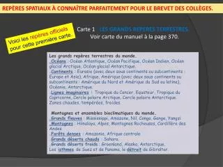
REPÈRES SPATIAUX À CONNAÎTRE PARFAITEMENT POUR LE BREVET DES COLLÈGES. Carte 1 : LES GRANDS REPERES TERRESTRES. Voir carte du manuel à la page 370. Voici les repères officiels pour cette première carte.

E N D
REPÈRES SPATIAUX À CONNAÎTRE PARFAITEMENT POUR LE BREVET DES COLLÈGES. Carte 1 : LES GRANDS REPERES TERRESTRES. Voir carte du manuel à la page 370. Voici les repères officiels pour cette première carte. • Les grands repères terrestres du monde..Océans : Océan Atlantique, Océan Pacifique, Océan Indien, Océan glacial Arctique, Océan glacial Antarctique..Continents: Eurasie (avec deux sous continents ou subcontinents : Europe et Asie), Afrique, Amérique (avec deux sous continents ou subcontinents : Amérique du Nord et Amérique du Sud ou latine), Océanie, Antarctique. .Lignes imaginaires : Tropique du Cancer, Equateur, Tropique du Capricorne, Cercle polaire Arctique, Cercle polaire Antarctique. • Zones chaudes, tempérées, froides. • Montagnes et ensembles bioclimatiques du monde. .Grands fleuves : Mississippi, Amazone, Nil, Congo, Gange, Yangzi.Montagnes : Himalaya, Alpes, Montagnes Rocheuses, Cordillère des Andes.Forêts denses: Amazonie, Afrique centrale.Grands déserts chauds: Sahara..Grands déserts froids : Groenland, Alaska, Antarctique. • Lesisthmesde Suez et de Panama, le détroit de Gibraltar.
Fond de carte vierge pour s’entraîner à localiser les repères.