Download
1 / 19
190 likes | 359 Vues
Building an Online System for Research, Outreach, and Education of Geospatial Environmental Research. Jim Graham Colorado State University Fort Collins, Colorado. National Institute of Invasive Species Science. Forecasting at Various Scales. Local. Regional. Global. National. 100. 0.

E N D
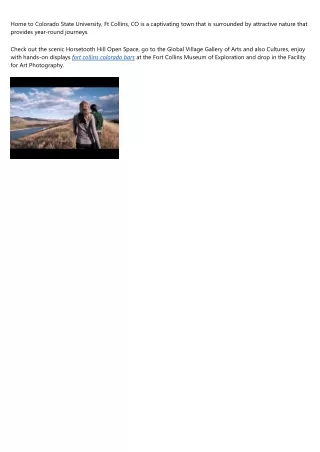
Building an Online System for Research, Outreach, and Education of Geospatial Environmental Research Jim Graham Colorado State University Fort Collins, Colorado
Forecasting at Various Scales Local Regional Global National
100 0 Data Management Challenges Spreadsheets Hierarchical Vector data Geo Referenced Rasters Temperature Precipitation Modeling Algorithm Model-Specific Data Geo Referenced Rasters Map Generation Example: Potential habitat distribution of invasive plant dalmation toadflax (Linaria dalmatica) in Colorado, USA
General Imaging Issues • Resolution and coverage of available data • Acquisition costs • Hardware and software performance • Data quality • File Format Compatibility
Goals • Create an online system for geospatial-ecological science • End-users: researchers, resource managers, teachers, and the public • End-Users can add spatial data • Vector data (text and Shapefiles) • Raster data
Vector Data • A few very large, complex shapes • National parks • Countries • States • Lots of small, simple shapes • Individual surveys • Observation points • Some regions have very high densities of spatial coordinates
P – Projection time per coordinate • L – Loading time per coordinate • R – Rendering time per coordinate • N – Number of coordinates
Approaches • Access only data within viewing area • 4 – Maintain All Required Projections • Geographic • 3 UTM Zones • All are WGS84 • Optimal use of an indexed, relational, enterprise-level database
Maximum Rendering Times • Equation 7: low resolution • NC – Number of cells • Equation 8: high resolution • MH – Maximum point density at high resolution • Q1 = maximum time to access indexed data in the database
Field Data Collection The Past The Future + Manual entry + Automatic upload
Acknowledgements: www.NIISS.org • NIISS: Tom Stohlgren, Mohammed Kalkhan, Greg Newman, Alycia Crall, Catherine Jarnevich, Tracey Davern, Paul Evangelista, Sunil Kumar, Sara Simonson • NSF Grant #OCI-0636210 • Volunteer Groups
Internet Client Server Database Browser Web Server HTML Pages PHP Pages Spatial Library Raster Layers Images Images Multi- Processor Plug-in Data Server Job Controller Jobs System Architecture