Download

1 / 13
130 likes | 156 Vues
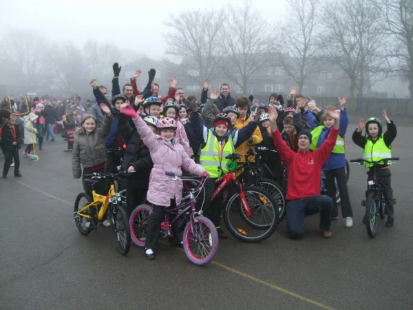
Safer Routes to school. How do we get to school? Think about the route you take to school, What can we use to help us find a route? = MAPS Paper maps: C ycle map, Local A toZ Internet: Google maps, Route planner. Gadgets: Sat Nav , Smart phones All based on mapping systems.

E N D
Safer Routes to school • How do we get to school? • Think about the route you take to school, • What can we use to help us find a route? • = MAPS • Paper maps: Cycle map, Local A toZ • Internet: Google maps, Route planner. • Gadgets: Sat Nav, Smart phones • All based on mapping systems
http://www.eorc.jaxa.jp/en/imgdata/topics/2005/img/tp05063http://eoimages.gsfc.nasa.gov/images/imagerecords/0/885/modis_wonderglobe.jpg0_03.jpghttp://www.eorc.jaxa.jp/en/imgdata/topics/2005/img/tp05063http://eoimages.gsfc.nasa.gov/images/imagerecords/0/885/modis_wonderglobe.jpg0_03.jpg
http://upload.wikimedia.org/wikipedia/commons/thumb/a/ae/Wales_from_space.jpg/544px-Wales_from_space.jpghttp://upload.wikimedia.org/wikipedia/commons/thumb/a/ae/Wales_from_space.jpg/544px-Wales_from_space.jpg
Map reading • A map will normally have the following features: • • The names of important places and locations. • • Standard symbols to show the location of key landmarks and features. • • A key, to explain what the symbols on the map mean.
To consider when planning a route……. • Equipment: • Roadworthy bike • Good Footwear • Puncture kit/tools • Cycle storage/lock • Helmet • Route: • Type of road • Cycle paths • Junctions • Other road users • Distance • Gradient • Weather: • Clothing
Map Scale and Grid Reference Scale tells you how much the land has been scaled down to fit on the paper. If the scale of a map is 1:50 000 then everything on the map will be 50 000 times smaller than it is in reality. Grid Reference the pink circle in the diagram opposite is 18 across and 45 up and therefore the 4-figure grid reference is 1845. 47 46 45 44 43 42 16 17 18 19 20 21