Download
1 / 20
200 likes | 336 Vues
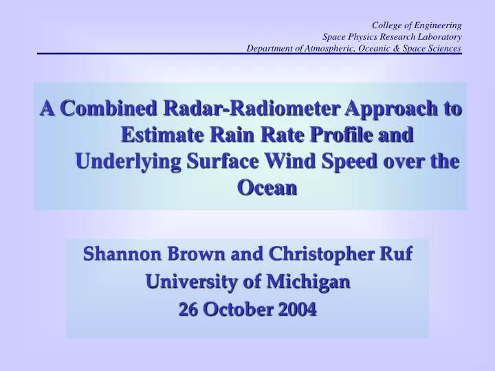
College of Engineering Space Physics Research Laboratory Department of Atmospheric, Oceanic & Space Sciences. A Combined Radar-Radiometer Approach to Estimate Rain Rate Profile and Underlying Surface Wind Speed over the Ocean. Shannon Brown and Christopher Ruf University of Michigan

E N D
College of Engineering Space Physics Research Laboratory Department of Atmospheric, Oceanic & Space Sciences A Combined Radar-Radiometer Approach to Estimate Rain Rate Profile and Underlying Surface Wind Speed over the Ocean Shannon Brown and Christopher Ruf University of Michigan 26 October 2004
Introduction • Pacific Field Campaign • LRR-X 10.7 GHz radiometer • PR-2 13.4 and 35.6 GHz Doppler radar • Algorithm Overview • Retrieval in stratiform rain • Effect of melting layer model
LRR-X – Synthetic Thinned Aperture Radiometer LRR Visible Camera • Point Reyes National Seashore, CA • DC-8 nadir video camera (left) • LRR-X TB image at 10.7 GHz, H-Pol (right) • LRR-X Specifications • Synthetic aperture 1 meter2; Cross-track imaging • Spatial res @ 11 km altitude • 381 x 466 m (nadir); 1079 x 629 m (45o cross track) • NEDT of 0.3 K
PR-2 – Dual Frequency Doppler Radar • Operates at 13.4 and 35.6 GHz • Scans cross-track to + 25o • 37 m vertical resolution • 800 m horizontal resolution
June 13, 2003 Pacific Field Campaign IR Visible Flight Path
Algorithm Basis • Physically based algorithm • Easily adaptable to multi-instrument platforms • Use radar to determine DSD • Iteratively solve for two parameters of Gamma DSD at each range gate • Determine RR(z) and W(z) from DSD(z) • Use DSD and TB to determine wind speed • Determine absorption and extinction profile from DSD • Remove atmospheric component to determine surface emissivity
Stratiform Retrievals • Radiometric retrieval in light stratiform rain driven by absorption in the melting layer • Passive rain retrieval • Surface parameter retrieval 1500 m
Stratiform Retrievals • (Bottom left) Retrieved wind speed without Melting Layer • (Bottom right) PR-2 retrieved rain rate
Melting Model Analysis • Choose melting layer model based on fit to PR-2 data • Apply to radiometric retrieval • Thermodynamic model from Mitra et al. 1990 • Ventilation coefficient • Initial snow density • Electromagnetic model
Electromagnetic Models Maxwell-Garnett Dielectric Model Strongest Water | { air inclusions in ice matrix} {ice inclusions water matrix} | air absorption scattering Fabry-Szyrmer Core-Shell air | {ice inclusions water matrix} Meneghini and Liao {air inclusions in ice matrix} | water Weakest
Fitting Procedure • Assume particle mass conservation • Stationary assumption • Lapse rate set to 7.7 K/km (from RaOb) • RH assumed to be 100 %
Fitting Procedure • Analyzed ~ 100 profiles with basal reflectivities of 25 – 31 dBZ Base of Melting Layer Reflectivity Peak in Melting Layer
Estimate N0, D0 Estimate D0 from dBZm(13.4) using average N0 Melting Layer Model (Fm, ρs, εm) Attenuation Correction Melting Layer Model (Fm, ρs, εm) Fitting Procedure N0init, D0init, μ τ melt(13.4), τmelt(35.6) dBZ(13.4), dBZ(35.6) N0, D0, μ
Fitting Procedure 1. {ice inclusions water matrix} | air 2. Fabry-Szyrmer Core(1)-Shell(3) 3. air | {ice inclusions water matrix}
Melting Layer • Combination of MG models fits PR-2 data well • FS core shell • Snow density model – lowest retrieval error in snow layer produces best fit in melting layer • FS model most sensitive to snow density variations • ~ 2K variation between different density models/ventilation coefficient
Effect on Retrievals No Melting Layer FS core shell Retrieved Rain Rate
Effect on Retrievals • Addition of melting layer reduced the wind speed retrievals by 30 to 40 % • Increased radar retrieved rain rates approximately 10 % Fraction of Atmospheric Brightness at 10.7 GHz due to melting layer (FS model)
Conclusions • Melting layer contributes the majority of the atmospheric absorption in the microwave • Radiometric retrievals in stratiform rain require an accurate model for the melting layer • Electromagnetic models which blend MG mixing formulas produce the best results • FS core shell model fit PR-2 data well and produced reasonable wind speed retrievals
Correct for attenuation Radar Data Radiometer Data Mie Theory Invert RTE to get Invert Surface Emissivity Model to get Wind Speed Ancillary Data (e.g. SST, mv, ρv) Algorithm Basis dBZ(f), Vr, LDR Brightband Detection get T(z) Invert Backscatter Equation to get DSD(z) DSD(z), T(z) DSD(z) Output RR(z), W(z), WSpd WSpd