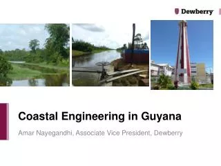
Coastal Engineering in Guyana
Coastal Engineering in Guyana. Amar Nayegandhi, Associate Vice President, Dewberry. Dewberry’s International Experience. Through Dewberry International, Inc. Working with reliable sources of funding like the World Bank, IDB Partnered with several firms on many international pursuits

Coastal Engineering in Guyana
E N D
Presentation Transcript
Coastal Engineering in Guyana Amar Nayegandhi, Associate Vice President, Dewberry
Dewberry’s International Experience • Through Dewberry International, Inc. • Working with reliable sources of funding like the World Bank, IDB • Partnered with several firms on many international pursuits • International market (especially in developing countries) has a lot of potential: • Technology • Expertise • Experience • Currently exploring other international markets
LiDAR, Imagery, Geodesy, and Engineering Modeling QA/QC and Review – Guyana Conservancy Adaptation Program
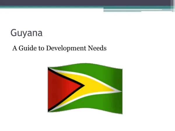
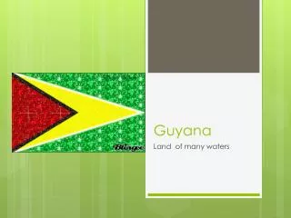
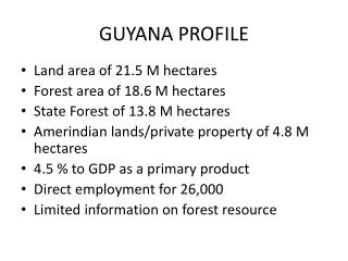
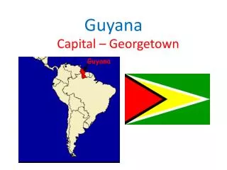
Guyana • Guyana officially the Co-operative Republic of Guyana,is a sovereign state on the northern coast of South America. • It is a Caribbean country but not an island (part of CARICOM) Demographics 44% Indo-Guyanese 31% Afro-Guyanese Population: 800,000 Source: Wikipedia
Guyana CAP Project History • Narrow and fertile marshy, low-lying coastal plain along the Atlantic coast is where most of the population lives. • The East Demerara Water Conservancy (EDWC) and east coast drainage and irrigation systems provide water storage and flood control mechanisms for Guyana’s most populous region, including the capital city of Georgetown. • In 2005, extreme rainfall caused devastating flooding along these coastal lowlands, with many areas remaining inundated for up to three weeks. • In 2008, World Bank sponsored the Conservancy Adaptation Project (CAP) • Funded by: Global Environment Facility (GEF) Special Climate Change Fund (SCCF) grant of US$ 3.8 million. • Dates: January 2008 to August 2013. Published by Isabella Bovolo for the World Bank
CAP Objectives • To strengthen understanding of the EDWC and the coastal drainage systems through the development of a hydraulic engineering foundation critical for flood control management • To identify strategic interventions for follow on investments to reduce flood risk • To implement selected infrastructure investments aimed at increasing the drainage relief capacity of the EDWC • To strengthen institutional capacity to manage water levels in the EDWC
Guyana CAP LiDAR and Imagery survey • Approximately 1,100 Square Kilometers • 1,166 Tiles (1Km X 1Km) • LiDAR data acquired in April 2011 • Hydro Flattened, bare earth model- 1m DEM • Ortho Rectified RGB imagery • Ground-based bathymetry surveys were also conducted in the region
Geodesy issues • Guyana has no GEOID model in place • Georgetown vertical datum is offset by 15.505 m from EGM96. • One survey monument on the wall of a lighthouse is the gold standard for the vertical datum.
Hydrologic and Hydraulic Modeling • Computer models of the EDWC system and east coast drainage areas were set up to help understand how the hydrological system varies under extreme weather scenarios and for testing the impact of various proposed interventions.
Model Results • Results of the models indicated that in 2005, even a 50-year rainfall event would have meant that water levels throughout most of the conservancy would have been above the safe operating level of the dam. • New Hope-Dochfur canal being built will reduce water levels and improve drainage from the conservancy for an extreme 10,000 year rainfall event. • Increasing discharge capacity to Demerara river at the Land of Canaan (shallowest location in the conservancy) will help lower water levels significantly.
Dewberry’s role in CAP Project • Dewberry assisted the Government of Guyana in the negotiations of the engineering services contract for the pre-investment study for engineering design of works with respect to the geodesy and mapping task. • Also assisted the GoG in reviewing contractor approach and technology at the start of the mapping and surveying component and provided expert assistance in reviewing contractor QA/QC procedures, equipment and work plan. • Provided expert review and QA/QC observations for the GoG to assure the data collection and analysis were consistent with the contract requirements. This process reviewed procedures at key performance milestones and a report was derived from these findings. • LiDAR and orthophotography data were extensively reviewed (including accuracy verification). • Dewberry also reviewed several model runs that were conducted for the CAP program. These included a rainfall-runoff model, 3 hydrodynamic (unsteady state) models (both 1-d and pseudo 2-D models), a water supply model, and climate change analysis on sea level and climate variability. Dewberry provided several recommendations during the entire modeling process that were incorporated by the contractor to better estimate the parameters that were used in the models.
H&H Model review and comparisons “A more detailed assessment of the Land Of Canaan Gate operation using an unsteady state HEC-RAS with the gate modeled as a structure ( with gate closing and opening times based on Land of Canaan Upstream and Downstream Water Levels) resulted in discharges inconsistent with the HYDRO-1D modeling for this structure.”
Institution Strengthening • Dewberry was tasked in March 2014 to conduct training in LiDAR products and services. • Tasked directly by the world bank. • How-to videos were created
Lessons Learned • Building trust is #1 priority • Engage with the locals • Learn a little about their culture prior to visit and ask lots of questions • Build relationships • Be sensitive
Thank you!Questions? Amar Nayegandhi Associate Vice President Dewberry anayegandhi@dewberry.com Ph: +1 813 421 8642 Mobile: +1 727 967 5005