Download

1 / 25
250 likes | 280 Vues
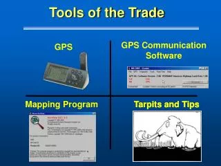
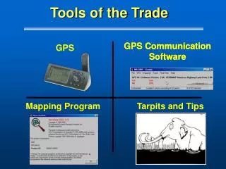
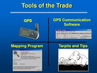
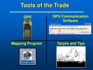
GPS Communication Software. GPS Communication Software. GPS. Mapping Program. Tarpits and Tips. Tools of the Trade. Tools of the Trade - Part II. GPS Communication Program. Minnesota Dept. of Natural Resources DNR Garmin. GPS Communication Programs. Definition:

E N D
GPS CommunicationSoftware GPS CommunicationSoftware GPS Mapping Program Tarpits and Tips Tools of the Trade
Tools of the Trade - Part II GPS Communication Program Minnesota Dept. of Natural Resources DNR Garmin
GPS Communication Programs • Definition: • The “middleware” that allows a GPS receiver and a computer to communicate with each other. • Not a Geographic Information Systems (GIS) Software
Overview • The Big Picture • The Language of GPS • Review of GPS Programs • Why DNR Garmin?
Data Transfer GPS Field Work GIS Fire Incident Plans Cycle
Scale • Mode of Collection • Environment 25 acres 10 mile perim. • Quantity of Units • Technical Skill Levels Unique Aspects of Fire Mapping Review!
Overview • The Big Picture • The Language of GPS • Review of GPS Programs • Why DNR Garmin?
Language of GPS • GPS spits out lots of data: • Lat/Long, Date/Time, Elevation, etc • Information sent to a receiving computer is the Language or Protocol • Two main choices for Garmin’s • NMEA 0183 and Garmin Protocol
Language of ALL GPS • NMEA 0183 Protocol • NMEA (National Marine Electronics Association) • “A standard for electrical interface and data protocol for communications between marine instruments” • String of characters • Speed of talk - 4800 baud rate See Peter Bennett’s Site http://vancouver-webpages.com/pub/peter/index.html
Language of ALL GPS • Must have garmin-nmea.avi
Language of ALL GPS • $GPGGA: GPS GPS Fix data • UTCTime,Lat,Long, Quality, # of SV’s, … • $PGRMM: Garmin Datum
Language of a Garmin GPS • Garmin Protocol • Speed of Talk: 9600 Baud Rate • Proprietary • Supports bi-directional transfer of waypoints, tracks, etc. • A GPS Communication Program written for Garmin’s must be literate in Garmin Protocol
Language Differences • Not all NMEA sentences are alike! • Manufacturers add unique sentences • Choice of program important • NMEA 0183: Datum changes with display • Garmin Protocol: Datum is WGS84 regardless of display
Tools and Accessories • The GPS receiver • Data - Coordinates, Date/Time etc • A cable • Computer • Available RS-232 port (COM) • Program to recognize the GPS
Overview • The Big Picture • The Language of GPS • Review of GPS Programs • Why DNR Garmin?
Many Program Choices • NMEA-0183 Programs • Garmin Protocol Programs Fire GEEK
NMEA-0183 Programs • GPSNMEA: simple display/logging • GPSy: For Macs • VisualGPS: display of GPS status/ stats http://vancouver-webpages.com/pub/peter/idx_nmeaprog.html
Garmin Protocol Programs • Waypoint+: 2002 Preferred Choice! • GarTrip • Gardown11 • GarminData Monitor • ….. • DNR Garmin: 2003 Preferred Choice! 24 + programs http://vancouver-webpages.com/pub/peter/idx_garmin.html
Overview • The Big Picture • The Language of GPS • GPS Communication Requirements • Review of GPS Programs • Why DNR Garmin?
Decision Factors for the Fire GPS Program • All Garmins supported • Software support is high • Provide efficient data transfer to a GIS • Cost (Program) • Nerd Factor Scale
Why DNR Garmin • DNR Garmin chosen over Waypoint+ • Supports newer Garmin’s • Improvements to DNR Garmin in March 2002, January 2003 • Tightly integrated with ArcView 3.X • Nerds:
Download Upload Typical Use on a Fire • Data Transfer
DNR Garmin Specifications • Designed by Minnesota Dept. of Natural Resources • Communicates with all current models • Uses Garmin Protocol • Cost - Its free! • Two Programs in one! • Program • Extension
Summary • How GPS software fits into the Big Picture • GPS and Computers are made for each other • DNR Garmin as the preferred choice
What’s in Store • Tomorrow - next in the series: • Mapping Programs and GIS