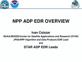
NPP ADP EDR OVERVIEW
NPP ADP EDR OVERVIEW. Ivan Csiszar NOAA/NESDIS/Center for Satellite Applications and Research (STAR) JPSS/NPP Algorithm and Data Products EDR Lead and STAR ADP EDR Leads. Major ADP EDR activities. Post-launch algorithm development and validation work

NPP ADP EDR OVERVIEW
E N D
Presentation Transcript
NPP ADP EDR OVERVIEW Ivan Csiszar NOAA/NESDIS/Center for Satellite Applications and Research (STAR) JPSS/NPP Algorithm and Data Products EDR Lead and STAR ADP EDR Leads
Major ADP EDR activities • Post-launch algorithm development and validation work • implementation of pre-launch preparatory work: development of capabilities for algorithm testing and validation • Data access, processing code, visualization and validation tools • Correlative datasets for validation (heritage satellite and in-situ) • early orbit check-out followed by intensive cal/val • testing results are being generated • discrepancies / issues are reported via formal Discrepancy Reports • focus on SDR and interaction between SDR and EDR teams • algorithm changes of varying levels of complexity are worked on • Continuing science support of mid- and long-term program and mission planning • product maturity dates • product assessments and requirements • resource requirements
NGAS CrIMSS AVTP EDR at 850 hPa (Feb. 24, 2012 focus day) CrIMSS EDR: 3-D characterization of the atmosphere CRITICAL INFORMATION FOR NUMERICAL WEATHER FORECASTING
VIIRS Imagery: a detailed look at atmospheric and surface features Tropical Cyclone Giovanna east of Madagascar 13 February 2012 at 0947 UTC VIIRS channel I-5 (IR window, 11.45 µm) VIIRS channel I-1 (visible, 0.64 µm ) CRITICAL INFORMATION FOR WEATHER FORECASTING AND DISASTER MANAGEMENT
VIIRS Ocean EDRs: Kona gyre (Hawaii) detected by Ocean Color CRITICAL ECOLOGICAL INFORMATION FOR FISHERIES AND INTEGRATED ECOSYSTEM ASSESSMENT
VIIRS Atmosphere EDRs: Cloud EDR validation using CloudSat • Sample comparison of VIIRS cloud top and base heights with CloudSat cloud mask from 11:59:16 UTC to 12:00:40 UTC on 17 February 2012. (Top) • VIIRS intermediate product cloud base height with CloudSat ground track overlaid. (Lower left) • CloudSat reflectivity. (Lower right) CloudSat cloud mask with VIIRS IP cloud base heights (blue asterisks) and cloud top heights (red asterisks) overlaid. CRITICAL CLOUD INFORMATION FOR WEATHER AND AVIATION PPLICATIONS VERIFIED BY STATE-OF-THE ART METHODOLOGY
VIIRS Land EDRs: The “County Line” fire (Florida) as detected by VIIRS April 7 2012 18:13 UTC CRITICAL INFORMATION AIR QUALITY, ECOSYSTEM MANAGEMENT AND DISASTER MANAGEMENT