
SlideServe
Menu
Préférences
© SlideServe · v2026

National Science Foundation

jenna-mckay avatar
31 diapositives · 456 Views · Nov 06, 2014

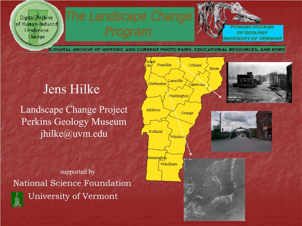
This project features an online database of paired historic and current photographs documenting the landscape changes in Vermont. Supported by the National Science Foundation and the University of Vermont, it highlights human-induced changes influenced by factors like agriculture, technology, and natural disasters. The collection includes historic images from the Jericho Historical Society and other local sources, along with recent photographs taken by Vermont high school students. This comparative analysis provides insights into cultural and environmental transformations over time, enriching our understanding of Vermont's natural history.
National Science Foundation - slide 1
01 / 31National Science Foundation
1 / 17

Télécharger la présentation

National Science Foundation
Une image / un lien ci-dessous est fourni (tel quel) pour télécharger la présentation

Politique de téléchargement : le contenu du site vous est fourni TEL QUEL pour votre information et votre usage personnel ; il ne peut être vendu, concédé sous licence ni partagé sur d’autres sites sans l’accord de son auteur.Le contenu vous est fourni TEL QUEL, pour votre information et votre usage personnel uniquement. Téléchargez la présentation en cliquant sur ce lien. Lors du téléchargement, si vous ne parvenez pas à télécharger une présentation, l’éditeur a peut-être supprimé le fichier de son serveur.Pendant le téléchargement, si vous ne parvenez pas à obtenir une présentation, le fichier a peut-être été supprimé par l’éditeur.

F I N

Plus de contenu associé

Transcription de la présentation
  1. Jens Hilke Landscape Change Project Perkins Geology Museum jhilke@uvm.edu supported by National Science Foundation University of Vermont

  2. An on-line database of historic and current photo pairs

  3. Paired Historic Photos Huntington Huntington River looking Northeast N 440 19’ 32.4” W 720 59’ 8.6” -No historic date Aug 17 2000

  4. Student work posted on line

  5. Human-induced landscape change • Landscape Natural History • Cultural History • Interactions (culture and landscape) • Technology

  6. Natural Disasters Barnet 1927

  7. Clarendon Flood of 1927

  8. Bradford Flood of 1913

  9. Randolph Flood of 1927

  10. Deforestation Brehmer, L.F. "Mountain Range from Keyes Cottage." June 6, 1913. Panoramic Photographs collection from the Library of Congress. Brehmer, L.F. “Rutland from Quarter Line." July 29, 1913. Panoramic Photographs collection from the Library of Congress.

  11. Richmond 1860s

  12. Reforestation Fairfield pre -1906

  13. Jericho 1913

  14. Development Route 116 in Hinesburg 1911

  15. Mountain Road Construction in Danby, Vermont

  16. Cultural Change Rutland 1879

  17. Stories of Vermont’s history Winooski 1925 Pontoon Bridge

  18. Resource extraction A Vermont Quarry in 1935

  19. Agriculture Chester, Vermont

  20. Town center Fairfax 1915

  21. Focuson Landscapes Underhill Snow Bowl (Underhill Historical Society)

  22. Jessica Mantone (MMU 2000)

  23. OLD PHOTOGRAPHcounty: Chittenden town: Richmond date: 1860's photo credit: Jericho Historical Society description: Picture of Winooski valley taken from a hill. RECENT PHOTOGRAPH latitude: N 44° 28' 52.4" longitude: W 73° 13'20.2" photographer: Adam Possidente school: MMU date: May 2000 A summary of the human-induced landscape change by a Vermont high school student.

  24. What makes a good photo point?

  25. OLD PHOTOGRAPH county: Chittenden town: Milton date: 1908 photo credit: Special Collections of Bailey/Howe Library at UVM description: bridge over the Lamoille River RECENT PHOTOGRAPH latitude: N 44° 38' 25.4'' longitude: W 73° 6' 51.9'' photographer: L. Persico school: UVM date: June 29, 2000 A summary of the human-induced landscape change by a Vermont high school student.

  26. OLD PHOTOGRAPH county: Chittenden town: Milton date: 1908 photo credit: Special Collections of Bailey/Howe Library at UVM description: bridge over the Lamoille River RECENT PHOTOGRAPH latitude: N 44° 38' 25.4'' longitude: W 73° 6' 51.9'' photographer: L. Persico school: UVM date: June 29, 2000 A summary of the human-induced landscape change by a Vermont high school student. NOT TAKEN FROM THE SAME PLACE

  27. OLD PHOTOGRAPHcounty: Chittenden town: Underhill Flats date: n.d. photo credit: Underhill Historical Society description: This picture is located in the Underhill Flats in Vermont on Route 15. The property is owned by the town of Underhill. RECENT PHOTOGRAPH latitude: n/a longitude: n/a photographer: Cory Blake school: MMU date: May 2000 A summary of the human-induced landscape change by a Vermont high school student.

  28. OLD PHOTOGRAPHcounty: Chittenden town: Richmond date: 1860's photo credit: Jericho Historical Society description: Picture of Winooski valley taken from a hill. RECENT PHOTOGRAPH latitude: N 44° 28' 52.4" longitude: W 73° 13'20.2" photographer: Adam Possidente school: MMU date: May 2000 A summary of the human-induced landscape change by a Vermont high school student.

  29. OLD PHOTOGRAPHcounty: Addison County town: Breadloaf date: n.d. photo credit: Special Collections of Bailey/Howe Library at UVM description: post card from Breadloaf Inn with Breadloaf Mountain in the background RECENT PHOTOGRAPH latitude:{latitude} longitude:{longitude} photographer: L.Mallard school: UVM date: July 16, 2000 A summary of the human-induced landscape change by a Vermont high school student.

  30. OLD PHOTOGRAPHcounty: Addison County town: Breadloaf date: n.d. photo credit: Special Collections of Bailey/Howe Library at UVM description: post card from Breadloaf Inn with Breadloaf Mountain in the background NO HISTORIC DATE RECENT PHOTOGRAPH latitude:{latitude} longitude:{longitude} photographer: L.Mallard school: UVM date: July 16, 2000 A summary of the human-induced landscape change by a Vermont high school student. NO LAT/LONG