Download
1 / 34
340 likes | 357 Vues
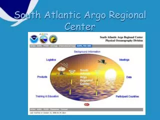
Discover the latest activities and developments of the South Atlantic Argo Regional Center, including deployments, new collaborations with universities, donation programs, and data quality assessments. Explore agreements with Argentina, Brazil, South Africa, and Ghana, and the logistics of floats deployments. Access products like mapped mixed layer properties, seasonal climatology, upper ocean temperature, and quality-controlled drifting buoy observations. Engage in training workshops and international meetings to evaluate progress and expand deployment opportunities in the region.

E N D
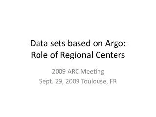
Activities of the South Atlantic Argo Regional Center (SA ARC) Silvia Garzoli, Bob Molinari, Claudia Schmid (NOAA/AOML) , Huiqin Yang (CIMAS/UM)
Deployments over the last year M/V Atlantic Action (Cyprus) Tema (Ghana) to Cape Town Agreement with Prof. A. K. Armah, from the University of Ghana. They will facilitate the transfer of one of our ship riders from the airport to the port and the loading of the equipment.
New developments The Scholar Ship Mcquarie University (Australia) Fudan University (China) Tecnologico de Monterey (Mexico) Al Akhawayn University (Morocco) Uiversity of Ghana (Ghana)
Donation Program To fill up gaps in the South Atlantic using ships from Brazil and Argentina.
Collaboration programs(Through SA ARC) with the University of Cape Town, South Africa to deploy floats from the RV Agulhas. With the Argentine SHN to deploy floats from the RV ARA Puerto Deseado
Logistics and floats deployments AOML to centralize and post the information for the whole Atlantic. • Donation program • Agreements with Argentina, Brazil, South Africa, Ghana.
Identify problems with the data quality Comparison with nearby profiles (in space and time) Comparison with climatology Report potential problems to float PI who will correct them if possible.
3900132 Summary plot of salinity comparisons
Targo vs. T buddy Comparison of Argo 400-m T with climatology (not shown) and buddies Depth: 400 m, Years: 1997-2004 Targo vs. T buddy - Outliers • determine the robustness of the climatology • evaluate the performance of the floats Depth: 400 m, Years: 1997-2004
Sargo vs. Sbuddy Comparison of Argo 400-m S with climatology (not shown) and buddies Depth: 400 m, Years: 1997-2004 Sargo vs. Sbuddy - Outliers Depth: 400 m, Years: 1997-2004
Summary • T/S deviates from climatology in high latitude South Atlantic (most likely problems with climatology) • S deviates from climatology in western tropical Atlantic • Buddy comparison help identify problematic floats
Training and Outreach Ghana Workshop: Welcome!
Next steps? • Coordinate the activities needed to develop the Reference Data Sets. We propose to add an ARC component to the next Data Management or delayed QC meetings. • May 2007; South Atlantic International MOC meeting in Argentina. We propose to add a section on SA ARC to evaluate the progress and to use the opportunity to expand our deployment opportunities in the region.
What have we accomplished? SA ARC (http://www.aoml.noaa.gov/phod/sardac/)
SARDAC Products • Mapped mixed layer properties • Seasonal climatology • Upper ocean temperature • Satellite altimetry and geostrophic currents
Mixed layer properties Temperature Heat Storage rate http://www.aoml.noaa.gov/phod/sardac/products/hs/animation_hsr.html
Gridded fields of upper ocean temperature in the Atlantic Upper ocean temperature
Upper ocean temperature Gridded fields of upper ocean temperature in the Atlantic
Quality controlled drifting buoy observations Nov. 1989-present: 887 drifters in the South Atlantic (826 with drogues to measure mixed-layer currents) 688 drifter-years of data!
Animations of monthly mean currents and SST(time-mean field shown here)
Access CoastWatch Gloabal Satellite Data and Products. Joaquin Trinanes and Gustavo Goni
SST Anomalies: View 5-day (pentad) SST anomaly maps for the Caribbean Region. Spatial resolution is 9.28 km. Atlantic SST maps: Display and retrieve daily and pentad Sea Surface Temperature maps for the Atlantic Ocean. These maps are created using data from the POES satellites. Near Real Time Wind Data: Display and retrieve surface wind data from a variety of sensors (QuikSCAT, SSMI, TMI, ERS-2, TOPEX, Jason-1, GFO and Drifters). Upper Ocean Heat Content: Upper ocean thermal structure derived from the Sea Surface Height and Sea Surface Temperature fields. Updated daily.
SA-ARC web page at AOML http://www.aoml.noaa.gov/phod/ARGO/HomePage