Download
1 / 18
180 likes | 311 Vues
This article explores the history and functionality of radar technology, originally developed during WWII for detecting enemy aircraft. As an active remote sensing tool, radar transmits and receives electromagnetic radiation pulses, enabling real-time detection of various atmospheric phenomena. The discussion includes detailed examples of CAPPI maps showing radar data at 3 km and 7 km heights near Montréal, Canada, on August 3, 1988, and its applications in weather forecasting using different modes such as Clear-Air and Precipitation Mode.

E N D
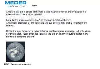
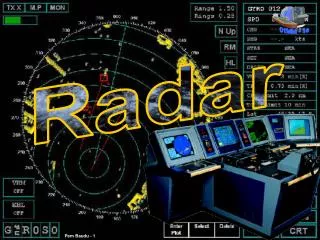
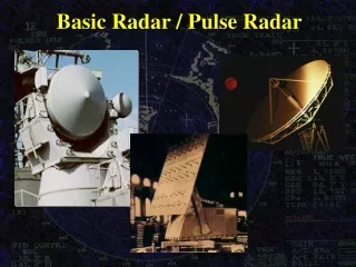
Radar • RAdio Detection And Ranging • Developed during WWII for detecting enemy aircraft • Active remote sensor • Transmits and receives pulses of E-M radiation • Satellite is passive sensor (receives only)
1.3. CAPPI maps at heights of (a) 3 km and (b) 7 km, near Montréal, Canada, on 3 August 1988 at 2135 UTC (1635 local time).
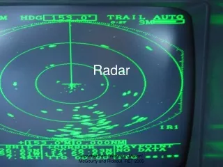
Clear-Air Mode Precipitation Mode Greer, SC (KGSP) (http://virtual.clemson.edu/groups/birdrad/COMMENT.HTM)
Cannon AFB, NM (KCVS) Precipitation Mode (http://virtual.clemson.edu/groups/birdrad/COMMENT.HTM)