Download
1 / 22
220 likes | 312 Vues
Explore the factors influencing West Nile Virus positivity in mosquitoes in Indiana using GIS analysis. Findings reveal the correlation between human density, wetlands, land use, and WNV cases. The study identifies high-risk areas and suggests implications for mosquito control programs. Utilizing GIS for spatial epidemiology enhances understanding of disease distribution.

E N D
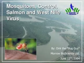
Krishna Thakur HuSuk Lee Spatial Risk Factors for West Nile Virus Positivity in Mosquitoes in Indiana State
Outline • Introduction • GIS questions? • Objectives • Materials and Methods • Results • Discussion • Conclusions
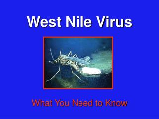
What is WNV? • West Nile virus (WNV) is a Flavivirus which causes neurological disease in humans, horses and other animals • Birds develop substantial viremia and are considered a major reservoir host • Humans and horses are dead-end hosts • WNV was first detected in 1999 in the United States (New York State)
Transmission by Mosquitoes • WNV is an Arbovirustransmitted by several mosquito species • Most important vector: Culex spp. • Mosquito abundance is associated with environmental and anthropogenic factors • Standing Water • Vegetation overgrowth • Urbanization • Host population (Humans and Horses)
GIS question? • Why some of the counties in Indiana State have high positive cases of mosquitoes for WNV compared with other counties?
Objectives • Use GIS to compare counties in Indiana in terms of high and low positive cases of WNV to • Human population density • Horse population density • Percent of wetland • Percent of urban • Percent of different types of land uses • Identify areas with high risk and make a risk map for WNV in Indiana using Ordinary least square regression model(OLS)
Materials • Data sources • WNV mosquito cases by county in Indiana State in 2010 http://diseasemaps.usgs.gov/wnv_in_mosquito.html • Indiana State map by county from Statewide danpatch.ecn.purdue.edu\asm540\data\tippecanoe\statewide • Wetland Data http://inmap.indiana.edu/dload_page/hydrology.html • Land cover danpatch.ecn.purdue.edu\asm540\data\tippecanoe\landcover
Materials • Data sources • Human population (Census block) http://inmap.indiana.edu/dload_page/demographics.html • Horse population http://www.ces.purdue.edu/extmedia/ID/ID-320-W.pdf • Census urban Area danpatch.ecn.purdue.edu\asm540\data\tippecanoe\statewide • Other related references
Methods • Normalization by area of county • Human population • Horse population • Area of wetland • Area of land use type • Recombination and reclassification • Forest= Deciduous + Evergreen + Mixed • Wetland= Herbaceous + Woody
Methods FINAL MODEL
Methods • Normalization by area of county • Human population • Horse population • Wetland area • Land cover values • Reclassification and recombination of Land cover values • Forest= Deciduous + Evergreen + Mixed • Wetland= Woody wetland+ Emergent herbaceous wetland
Discussion • WNV cases in mosquitoes are related with • Human density • This model explains 28% of variation in WNV cases in mosquito indicating some variables are still missing in the model • Predicted cases are not spatially autocorrelated indicating random pattern and model significance
Discussion • GIS • OLS tool and Spatial correlation tool work well in comparing and modeling multiple spatial factors • Good Visualization tool to understand the distribution of disease and associated risk factors • Useful to obtain spatial data for other studies
Conclusion • Required more factors in order to explain the WNV cases in mosquito • Obtained data can be analyzed using robust statistical software • Helpful to design mosquito control program • Acquaintance with GIS application in spatial epidemiology