Download
1 / 7
80 likes | 270 Vues
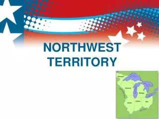
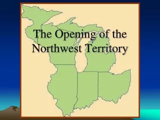
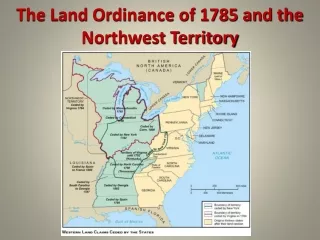
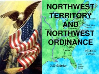
In 1783, after the Revolutionary War, the United States faced the challenge of organizing the Northwest Territory. This vast land would eventually be divided into five new states. The Land Ordinance of 1785 was crucial in this process, establishing a system for surveying and selling land. Each township measured 6 miles by 6 miles and consisted of smaller 1-mile by 1-mile sections. As settlers moved into this territory, they utilized maps and resources to find their way to Ohio, paving the path for settlement and statehood. Explore the transformation from wilderness to developed states.

E N D
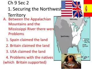
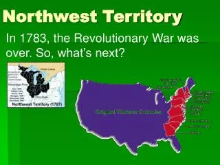
In 1783, the Revolutionary War was over. So, what’s next? Northwest Territory
Or, each section of land could be divided into smaller sections, and sold for less money. Each 1 mile x 1 mile section of land sold for $640. What fraction of the square is section A? Section B? Section C? Section D?
6 6 The land was divided into sections that were 6 miles x 6 miles. These sections were called Townships. First, the land had to be divided and sold. • The Land Ordinance of 1785 gave directions for dividing the land. Each Township was divided into 1 mile x 1 mile sections of land.
Read pages 98-99 in S. Studies textbook. • Answer questions.
Read pages 100-101 in S. Studies textbook. • Answer questions.
Settling the Northwest Territory • Open your Social Studies book to page 103. • How did early settlers reach Ohio? Use map to find out. • Read Info-graphic on page 106-107. • Begin journal entry as Ohio Pioneer. Use details from page 106-107.