Download
1 / 17
170 likes | 321 Vues
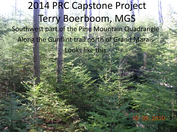
2014 PRC Capstone Project Terry Boerboom, MGS. Southwest part of the Pine Mountain Quadrangle Along the Gunflint trail north of Grand Marais Looks like this. Terry Boerboom, MGS. The map area will build on last years capstone. 2013 Capstone Map area. 2014 Capstone Map area.

E N D
2014 PRC Capstone ProjectTerry Boerboom, MGS Southwest part of the Pine MountainQuadrangle Along the Gunflint trail north of Grand Marais Looks like this
The map area will build on last years capstone 2013 Capstone Map area 2014 Capstone Map area
Location of map area. The rocks will all be part of the ca. 1,100 Ma Midcontinent Rift System Midcontinent Rift System
Why here? • Mapping here will be integrated into a long-term program of detailed mapping along the North Shore of Lake Superior by the Minnesota Geological Survey. • Past work has shown that current reconnaissance geologic maps have left out a great deal of detail. • Mapping will delineate volcanic stratigraphy in areas currently lumped as ‘North Shore Volcanic Group, undivided’. Also will map the intrusive (and possibly faulted) relationships with the Brule-Hovland diabase/gabbro and Eagle Mountain granophyre bodies. The volcanic rocks have been metamorphosed by the intrusions, and the felsic volcanics have likely been remelted by the mafic intrusions, forming small marginal hybrid bodies. • The access is pretty good via drivable roads, logging roads, and snowmobile trails. BUT you will be mostly bushwacking.
Regional overview of Midcontinent Rift-related rocks in NE MN Capstone Map area
General overview of Midcontinent Rift-related rocks in Cook County, MN Capstone Map area NSVG Duluth Complex 1095.94±0.62 1097.26±0.67 North Shore Volcanic Group 1094.3±2.0
Local-regional geologic setting – mapped outcrops shown in dark blue. Pale green areas are outcrops from Davidson’s geologic maps. 2013 Capstone 2014 Capstone Eagle Mtn. G’phyre Mafic Vx. rocks Felsic Vx. rocks
Geology and mapped outcrops on LiDar showing areas of highest mapping priority. Northwet Traverse to establish intrusive relationships Northeast Traverse to establish stratigraphy and intrusive/faulted relationships Focal area of field mapping Southwest Traverse to establish stratigraphy Area proposed for published PRC maps
Southwest traverse area showing outcrops (blue and green) on LiDar
Northwest traverse area showing outcrops (blue and green) on LiDar
Northeast traverse area showing outcrops (blue and green) on LiDar
Unknowns • Access? • There are some roads and ATV trails, but expect that there will be lots of bushwhackin’. • Exposure? • Looks very promising from the LiDar topography that corresponds well with known mapped outcrops. • Rocks? They haven’t been mapped for the most part! • Volcanic rocks likely to include everything from rhyolite to basalt. They are also contact metamorphosed and expect to see hybrid border phases adjacent to mafic intrusions. • Gabbroid to granophyric intrusions, intermediate border phases. • Probably many smaller dikes/sills within volcanic pile that we don’t know about yet.
Large bug- and rain-proof (more or less) screen shelter Camp at Kimball Lake Campground
We will be in a small campground on Kimball Lake about 8 miles from the field area. There is drinking water and there are toilets (no relationship between the two). No showers you’ll need to swim in the lake to get clean. Washing with soap in the lake is discouraged so please try to bring some ‘environmentally-friendly’ soaps to help keep the lake nice and clean, and use sparingly. • Have a large screen tent which will give us a place to work out of the bugs and keep stuff dry. • You will want DEET and LONG PANTS. You will NOT want to wear shorts or sandals in the field.