Download
1 / 19
190 likes | 391 Vues
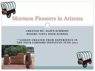
Mormon Pioneers in Arizona. CREATED BY: DAWN SCHMIDT DESERT VISTA HIGH SCHOOL **LESSON CREATED FROM EXPERIENCE IN THE FOUR CORNERS INSTITUTE-JUNE 2011. What 2 counties in Arizona have the largest % of LDS?. Answer:. Navajo and Graham Next…Apache and Greenlee

E N D
Mormon Pioneers in Arizona CREATED BY: DAWN SCHMIDT DESERT VISTA HIGH SCHOOL **LESSON CREATED FROM EXPERIENCE IN THE FOUR CORNERS INSTITUTE-JUNE 2011
Answer: • Navajo and Graham • Next…Apache and Greenlee • Followed by Coconino, Gila and Maricopa • How is that possible????
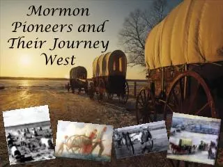
Brief History of Settlement • Saints aka Mormons wanted to settle the area from Salt Lake City to Sonora, Mexico at the request of Brigham Young • Would be referred to as the Deseret Region • Early Mormons began to move into Arizona in the early 1860s as result of exposure to the state through involvement with Mormon Battalion
Characteristics of Mormon Pioneer Settlements • Water Source: Early pioneers were farmers • Streets: Were created wide enough so a wagon could turn around without backing up • Grid Pattern: City planning was established in Salt Lake City, Utah • North-south grid pattern, the center of town is usually at Main and Center with streets extending with avenues and streets labeled 1st, 2nd, etc coupled with the cardinal directions
Characteristics-continued • Canals: Water crops sufficiently • Dams or reservoirs were created when necessary • Meeting House: Mormon church • Sustainability: Each house would have a garden plot and fruit trees • Trees: Would usually line the streets or side of town to serve as wind breaks Fruit trees and garden plot in Woodruff, Arizona
Does Mesa, Arizona fit this pattern? Grid pattern with Main and Center
Canal System • Original inhabitants, the Hohokam created the ancient canals and the Mormons discovered and re-used them. • Near the original site of Lehi.
Student Task • Find a partner • Grab ONE map per partnership • Examine the map and choose 4 locations for Mormon pioneer settlements • Create labels or icons for your locations and create a key for the map • Write a paragraph justifying your location using at least 3 characteristics of Mormon settlements. • Be sure to include reasons for locations, explain relative location and any pertinent information that would further explain your choices! • Your partnership will also be graded on Conventions and Ideas.
*Map created on Google Maps detailing early Mormon pioneer settlements in Arizona and Southern Utah (Bluff). Website Link for Map:http://www.google.com/maps/ms?msid=203928692828628153054.0004a6dfdbbd842eba206&msa=0