Download
1 / 32
320 likes | 486 Vues
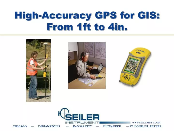
High-Accuracy GPS for GIS: From 1ft to 4in. GPS Resources. GPS Information: H-Star White Paper: http://www.trimble.com/geoxh_wp.asp GPS Tutorial: www.trimble.com National Geodetic Survey (NGS): www.ngs.noaa.gov. Why High-Accuracy?. Utilities Collecting assets/features accurately:

E N D
High-Accuracy GPS for GIS: From 1ft to 4in. CHICAGO --- INDIANAPOLIS --- KANSAS CITY --- MILWAUKEE --- ST. LOUIS/ST. PETERS
GPS Resources • GPS Information: • H-Star White Paper: http://www.trimble.com/geoxh_wp.asp • GPS Tutorial: www.trimble.com • National Geodetic Survey (NGS): www.ngs.noaa.gov
Why High-Accuracy? • Utilities • Collecting assets/features accurately: • collecting existing features or • ‘as-built’ surveys • Relocating assets/features • Local & city government • Urban asset databases • Road centerlines • Construction • Preliminary site surveys • As-built surveys for collecting asset information • Environmental impact reports
Why Mapping-Grade? • If your applications only require 4in-12in, these systems are built for that level of accuracy. • Cost of the high-accuracy mapping systems are typically about half to a third of the cost of a survey-grade unit. • The Trimble Mapping/GIS products are designed to work well with attribute-intensive GIS data collection projects. • They integrate seamlessly with ESRI software such as ArcGIS.
Accuracy Levels • 12 inches • GeoXH’05 • GeoXH’08 or ProXH • 8 inches • GeoXH’05 /Pro XH with Zephyr Antenna • 4 inches • ProXRT / GeoXH’08 with Zephyr (close to base station)
GeoXH (2008) Handheld • <12 inch accuracy after post-processing or VRS • Typically requires about 30-60 seconds at each point • 3-foot accuracy in the field with WAAS • Integrated unit can be carried in your hand. No need for cables or a pole/backpack.
GeoXH’08 with Zephyr • 4 inch accuracy after post-processing…depends on distance to base station • Typically requires about 30-60 seconds at each point • 3-foot accuracy in the field with WAAS. 4 inches when connected to VRS. • Designed for use on a rangepole
ProXH • <12 inch accuracy after post-processing • Typically requires about 30-60 seconds at each point • 3-foot accuracy in the field with WAAS • Use with a mobile data collector, tablet, or laptop. • Communication via Bluetooth or serial cable.
ProXH with Zephyr • <8 inch accuracy after post-processing • Typically requires about 30-60 seconds at each point • 3-foot accuracy in the field with WAAS • Use with a mobile data collector, tablet, or laptop
ProXRT • <4 inch accuracy after post-processing (<6in vertical) • ALSO…<4 inch accuracy in the field (<6in vertical) • Dependent on base station distance • Typically requires about 30-60 seconds at each point • 3-foot accuracy in the field with WAAS/Beacon • Omnistar/GLONASS capable • Designed for use on a rangepole
Post-Processing • Pathfinder Office • GPS Analyst for ArcGIS • Baseline Requirements: • 50 miles for subfoot • 18 miles for 4 inches (must use zephyr antenna) • 2 options for real-time decimeter (4in) data collection: • Using real-time H-Star technology (VRS) • OmniSTAR HP (ProXRT only) • Real-time data collection • Allows for in field verification...knowing that a feature has been captured to the desired accuracy level streamlines workflow and reduces the risk of recollecting data • For relocating assets accurately and efficiently
Post processed Differential • Corrections applied in Pathfinder Office software or GPS Analyst software
H-Star Processing • Corrections applied in GPS Pathfinder Office software or GPS Analyst • Multiple CORS used • Carrier phase float solution generated • One base station within 50 miles or three within 120 miles.
Iowa RTN • www.iowadot.gov/rtn
Why use VRS for GIS? • Do not need post-processing software • Increased accuracy • Better than WAAS and Beacon • Doesn’t degrade with distance from the base • Integrity monitoring • QA/QC increasingly important for contractors
VRSData Flow Reference station data streams back to server through LAN, Internet, or radio links
VRSData Flow Roving receiver sends an NMEA string back to server using cellular modem. Virtual Reference Station position is established. VRS NMEA—GGA
VRSData Flow Server uses VRS position to create corrected observables and broadcasts them to the rover VRS RTCM or CMR+
Cellular Connection • Must have cellular service in your work area • Verizon, AT&T, Sprint, T-Mobile • Data Plan is needed (differs from a voice plan) • Make sure “tethering” is enabled • Carry spare batteries or bring an external battery • A bluetooth cell phone is better • A Nomad “GX” series is best! (AT&T and T-Mobile)
Datum's NAD83 (CORS96) • Choosing the wrong datum can greatly shift your data! • NAD27 to NAD83 could mean 50 feet or more. • “NAD83” has different versions • NAD83 (86) • NAD83 (91) • NAD83 (97) • NAD83 (CORS 96) I’m in “NAD83”
Datum Shift • Know your correction source. • WAAS and Beacon are different! • Confirm your base station if post-processing. • Find one base station that works and stick with it. • Do a test point on a known location before starting.
Questions?www.seilerinst.com/mapping/support.aspjriester@seilerinst.comQuestions?www.seilerinst.com/mapping/support.aspjriester@seilerinst.com CHICAGO --- INDIANAPOLIS --- KANSAS CITY --- MILWAUKEE --- ST. LOUIS/ST. PETERS