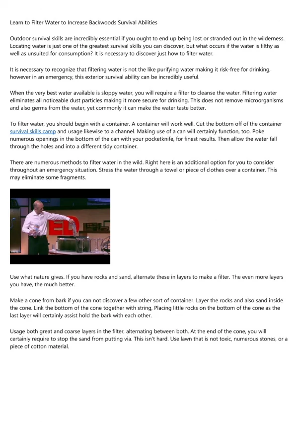
BASIC COMPASS SKILLS: An Introduction to Orienteering
250 likes | 1.31k Vues
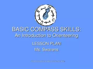
BASIC COMPASS SKILLS: An Introduction to Orienteering. LESSON PLAN Ms. Swarens. (Click mouse button to advance to the next slide). KALEIDSCOPE. Weekend Camporee in Lompoc, CA April 30 – May 2, 2004 Tres Condados Girl Scout Council 6 one-hour workshops on Orienteering

BASIC COMPASS SKILLS: An Introduction to Orienteering
E N D
Presentation Transcript
BASIC COMPASS SKILLS:An Introduction to Orienteering LESSON PLAN Ms. Swarens (Click mouse button to advance to the next slide)
KALEIDSCOPE • Weekend Camporee in Lompoc, CA • April 30 – May 2, 2004 • Tres Condados Girl Scout Council • 6 one-hour workshops on Orienteering • 20 – 25 Girl Scouts ages 8 – 18 per workshop www.gstc.org
Learning Objective To learn how to use a compass to follow directions To apply map and compass skills to find your way
ASSESSING PRIOR KNOWLEDGE What is a compass used for?
ASSESSING PRIOR KNOWLEDGE To find your way when you’re lost To know where North is ?
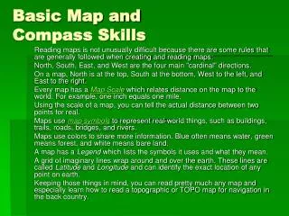
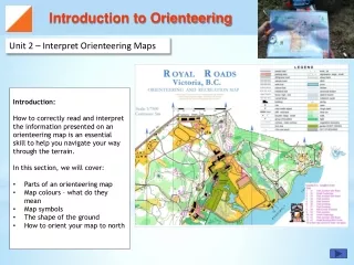
Basic Orienteering • Orienteering is a competitive sport involving finding your way with a map and compass. • Reading an Orienteering map involves reading the natural aspects of the land as well as the man-made objects found on the more common maps. U. S. Orienteering
MATERIALS Compasses Maps
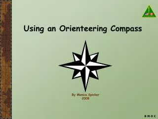
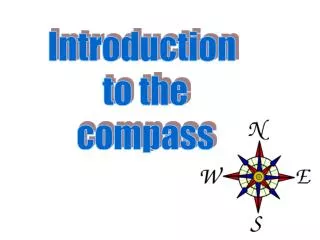
Parts of a Compass Direction of travel arrow Base plate 360o dial Magnetic needle
Guided Practice How to orient the map:
Parts of an Orienteering Topographical Map Checkpoints Contour lines Legend
TYPICAL DIRECTIONS : • Start at the pepper tree and head 90 degrees for 50 feet. • Head 160 degrees for 80 – 90 feet or until you reach a Christmas tree. • Head 260 degrees for 50 feet.
Let’s Go! Teams of 4 – 5 girls follow directions to find each checkpoint
They find a checkpoint: …now on to the next!