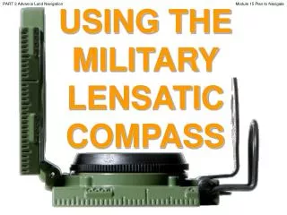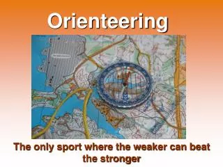
Using an Orienteering Compass
Using an Orienteering Compass. By Monica Spicker 2008. Objectives. Identify types and parts of a compass Determine a direction from a map. Transfer a reading onto a map Follow a reading in the field Take a reading in the field Determine position by resectioning in the field.

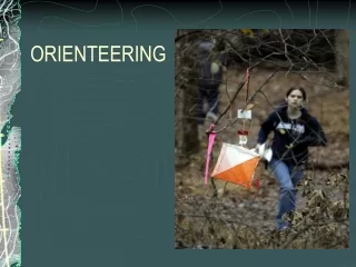
Using an Orienteering Compass
E N D
Presentation Transcript
Using an Orienteering Compass By Monica Spicker 2008 B M O C
Objectives • Identify types and parts of a compass • Determine a direction from a map. • Transfer a reading onto a map • Follow a reading in the field • Take a reading in the field • Determine position by resectioning in the field. B M O C
Compass styles Azimuth Bearing B M O C
Compass parts Reading taken or set here Base lines To From Needle “Red Fred” Screw to set declination: No further calculations needed! Orienting arrow. The “Shed” B M O C
Magnetic vs True North B M O C
Magnetic Declination • Compass needle points to magnetic north • Maps oriented to true north • Difference must be calculated or preset on the compass itself. • True reading (map) = magnetic (needle) + dec • By convention east is always + and west is – • MEAT: Magnetic East Add True B M O C
Grid North The angle at which the UTM grid is oriented. UTM grid lines may be too far off for orienting the compass! B M O C
Determining Direction: Step 1 Compass edge is used like a ruler From From Lost Lake To To this campground B M O C
Turn dial so BASE lines are parallel to true north. N of dial must point north. (Red orienting arrow is skewed, because declination is set. ) IGNORE THE NEEDLE! Step 2 Read direction here. No further calculations needed! Leave this reading set, if you want to travel this route. B M O C
Practice B M O C
Following a Set Direction: Step 1 Set the desired reading here B M O C
Following a Set Direction: Step 2 Turn yourself until “Red Fred is in the Shed” (The red needle is inside the outline arrow in the base plate.) B M O C
Step 3: Following a Set Direction • Hold the compass LEVEL in front of you. • Flip the mirror down so you see the dial in it. • The black line in the mirror should appear to go through the reading. • Make sure Red Fred is still in the shed! • The sighting notch in the black cover points to your target. • Repeat when you reach your first target until you reach your target. Count paces as needed. B M O C
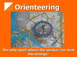
Resectioning • Intersection of two line features to determine position. • Road and elevation • Creek and road • One or more directions drawn on map and another line feature. B M O C
Resectioning Examples Intersection of trail and stream Intersection of stream and elevation 11400 Intersection of 2 trails B M O C
B A X Your Location in Field Resectioning with compass directions Take compass readings on two prominent landmarks (A and B) that you can identify on a map. Plot these on the map. Intersection is your position.
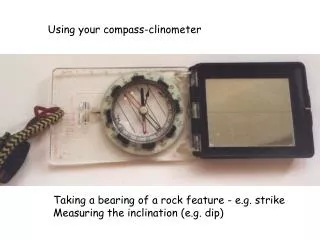
Taking a Reading Look at target • Hold compass level in front of you • Flip down the mirror until you can see the dial. • Aim the sighting notch in the compass at the target • Turn the dial until Red Fred is in the Shed • The direction is read at the hinge end of the dial. B M O C
Plotting a Direction: Step 1 Set heading on compass FROM: If you shot from a known point, then lay this end over the point on the map TO: If you shot to a known point, lay this end over that point on the map Compass edge acts like a ruler B M O C
1) Turn entire compass until base lines are parallel with true north on map and the N on the dial is north 2) Draw line along compass edge Step 2 B M O C
Step 3 • For resectioning, repeat with a second line feature or second compass reading • Intersection is your location. • Lost Lake is now found! • If plotting a distance from a known point, mark off the distance to see the objective. B M O C
Plotting Practice B M O C
Field Practice B M O C