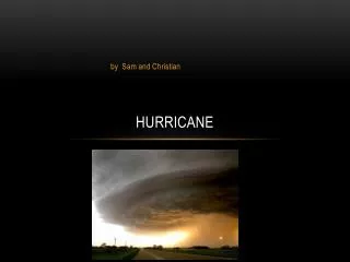
Hurricane Brief
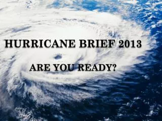
Hurricane Brief. Jeff Orrock Warning Coordination Meteorologist National Weather Service Raleigh Jeff.orrock@noaa.gov. The Future…Look to the Past. 1930 - 2005. Costliest Storms in US History. NOAA Hurricane Outlook 9 of the last 11 Hurricane Seasons have been have been above normal.

Hurricane Brief
E N D
Presentation Transcript
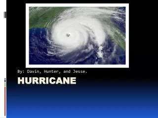
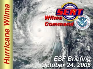
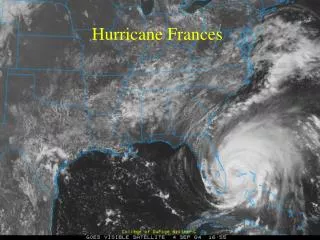
Hurricane Brief Jeff Orrock Warning Coordination Meteorologist National Weather Service Raleigh Jeff.orrock@noaa.gov
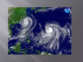
NOAA Hurricane Outlook9 of the last 11 Hurricane Seasons have been have been above normal
2006 NOAA Hurricane Outlook 13 - 16 Named Storms ( 11 is the normal average – 28 in 2005) 8 - 10 Hurricanes ( 6 is the normal average – 15 hurricanes in 2005) 4 - 6 Major Hurricanes (Cat 3 or greater with winds 111 mph or greater) ( 2 is the normal average – 7 major in 2005) Just one of these hurricanes hitting NC will make it a bad season for someone
80% chance above normal, 15% chance near normal, 5% chance below normal
NOAA’s 2006 Seasonal Hurricane Outlooks Atlantic East Pacific Central Pacific Outlook Outlook Outlook Chance Above Normal 80%* 5% Chance Near Normal 15% 15% NA Chance Below Normal 5% 80% Tropical Storms 13-16 12-16 2-3 tropical systems Hurricanes 8-10 6-8 (includes tropical Major Hurricanes 4-6 1-3 depressions) ACE % of Median 135%-205% 45%-85% Categorical Above Below Below Outlook Normal Normal Normal * 80% is highest probability ever issued in a May Outlook 14
Chris Landsea NOAA Hurricane Research Division 1995 –“Normalized data clearly indicates the US has been fortunate in recent decades with respect to storm losses. This would lead to the conclusion that it is only a matter of time before the nation experiences a $50 billion or greater storm, with multi billion dollar losses becoming increasingly frequent. Climate fluctuations in the Atlantic basin will enhance the chances that this will occur sooner rather than later.” Law of Averages… One land falling hurricane every 3-4 years One or more hurricanes will impact the NC every one and a half years.
NC Population Vulnerability NC population has increased from 4 million to over 8.4 million since 1954 Coastal populations have more than quadrupled Top 5 most populated counties Top 5 most densely populated counties
The Threat Top 5 fastest growing counties and Largest municipalities Hazel or Hugo size storm moving from SE coast into central NC impacting some of the most densely populated areas in the state. Winds in excess of 90 Mph along with 8-10 inches of rain. Cut all major east-west and north-south roads in the state.
Our test to come • @ 4 million people impacted from ILM to RDU • 391,081 buildings will be at least moderately damaged (of this 386,000 are residential) • Estimated 90,342 buildings that will be completely destroyed (mostly residential) • Nearly 8 times that of Hurricane Floyd • All major N-S and E-W highways compromised
Wind damage alone is 8 times the total damage from Hurricane Floyd Numbers represent all wind damage ( ) Moderate damage and worse
Shelters and Evacuations • 181,880 households displaced due to the hurricane.
The Trees and Debris 200-300 trees down for every mile of highway In Fayetteville, Triangle and Triad 6-12 trees down per city block
The Rain8 – 12 inches Major to record flooding along Cape Fear, Neuse, and Haw Rivers including countless creeks. Haw River would rise within 12 hours cresting near 35 feet flooding Interstate 40 west of Raleigh Kerr Lake, Falls Lake and Lake Jordan could overtop flood controls. Numerous small dam failures.
Jeff Orrockjeff.orrock@noaa.govhttp://weather.gov/raleigh(919) 515-8209