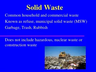
GIS and Solid Waste
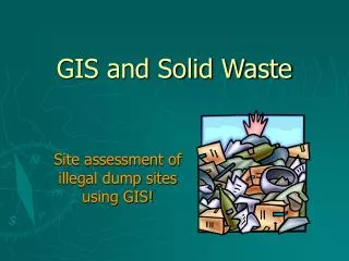
GIS and Solid Waste. Site assessment of illegal dump sites using GIS!. The State asks for the following information: (among other). Waste area(s) dimensions Soil Type Mean annual precipitation Is waste area within a flood plain? (Y/N) Slope pitch Show detailed site map(s).


GIS and Solid Waste
E N D
Presentation Transcript
GIS and Solid Waste Site assessment of illegal dump sites using GIS!
The State asks for the following information: (among other) Waste area(s) dimensions Soil Type Mean annual precipitation Is waste area within a flood plain? (Y/N) Slope pitch Show detailed site map(s) Site Assessment Form
GPS the outline of the dump. The GIS software calculates the surface area, perimeter etc. Estimate the depth of the dump and calculate the rough volume of trash to be removed. Waste Area Dimensions
0.11 526 4.0 3.0 Disposal Site Characteristics
Locate the site. Verify the property the site is located on. Identify the responsible party. iOwner: Greg Garbage & Donna Dump Mail: PO Box 123 Trash City Site: 999 Darn Ln. Refuse Village Identify the Responsible Party
Access additional Information from various shape files Soil Mariposa Formation … Precipitation 27 – 35 in … Floodplain Not in floodplain …
Risk Assessment Put the dot on the map
Risk Assessment Put the dot on the map Measure to the dwellings
Risk Assessment Put the dot on the map Measure to the dwellings Measure to well and creek
Risk Assessment Put the dot on the map Measure to the dwellings Measure to well and creek Add contour lines for the relief
Slope The GIS software calculates the pitch of the slope
Slope The GIS software calculates the pitch of the slope iThe dump site is located on a slope with a 15.1 to 20 ° pitch
Risk Assessment Put the dot on the map NO 340’, 900’ and 1430’ NO (creek) Maps are enclosed! YES NO Measure to the dwellings Measure to well and creek Add contour lines for the relief
Visualization of Dump Sites Include maps with the Site Assessment Form
Visualization of Dump Sites If appropriate include a 3D view of the dump site. Ω View
Remediation of Illegal Dump Sites Software requirements...Tools applied... • GPS Unit Pathfinder Office, ArcPad or TerraSync • Select (attribute) ArcView • Measure ArcView • Slope Calculation 3D-Analyst • 3D visualization 3D-Analyst