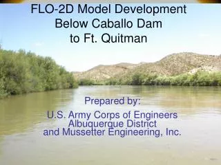
FLO-2D Model Development Below Caballo Dam to Ft. Quitman
260 likes | 446 Vues
FLO-2D Model Development Below Caballo Dam to Ft. Quitman. Prepared by: U.S. Army Corps of Engineers Albuquerque District and Mussetter Engineering, Inc. Canalization Reach - Caballo to American Dam. Flo-2D model development complete Tributary studies – gaging analysis.

FLO-2D Model Development Below Caballo Dam to Ft. Quitman
E N D
Presentation Transcript
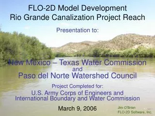
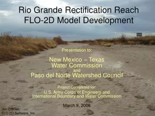
FLO-2D Model Development Below Caballo Damto Ft. Quitman Prepared by: U.S. Army Corps of Engineers Albuquerque District and Mussetter Engineering, Inc.
Canalization Reach - Caballo to American Dam • Flo-2D model development complete • Tributary studies – gaging analysis
Basic (Big Flood) Results • Area of Inundation • Flood hydrographs every 250 ft of channel • Flood wave attenuation • Levee deficiency and overtopping
Flood Hydrographs 2004 Calibration Results Haydon Gage
2004 Calibration Results Leasburg Gage
2004 Calibration Results Mesilla Gage
2004 Calibration Results Anthony Gage
Levee Deficiency Code was written to track the maximum loss of levee freeboard as requested by IBWC. This can be reviewed as an option in MAXPLOT (also in Mapper by swapping files).
Potential future benefits • Flood risk and hazard assessment • Flood mitigation – raise levees • Local flood details – levee elevations, wasteways, urban flooding • Revise flood hydrology • River operations • River maintenance response • River restoration response
Resolved Issues • Which hydrology and dam release to use • Diversion dam operation during flooding • How do wasteways function during flooding • Levee deficiency • Road embankments – detail for local flooding • Sediment loading
Return Period Flood Modeling The various return period tributary flood inflows using the revised hydrology were simulated with the typical irrigation release of 2,350 cfs. Return period floods were: 2-yr, 5-yr, 10-yr, 25-yr, 50-yr, 100-yr
Sediment Yield • To determine an appropriate sediment supply to the RGCP, it was recommended that the sediment load analysis be refined • Update the NRCS reservoir survey data
Sediment Yield Equation • The equation for total sediment load QT was of the form: • QT = A1 + A2 Ab + A3 Log (Ab) • where: A1, A2, and A3 are regression coefficients and Ab is the basin area.
Sediment Load Adjustment Sediment yield per unit area was plotted as f(basin area). A decreasing power function could be applied to adjust the sediment yield equation as function of the basin area. The derived adjustment equation was: Fa = 5.69 * Ab(-0.3739) where: Fa is the adjustment factor
Tributary Inflow Gage analysis
Rectification Reach – American Dam to Ft. Quitman BI-NATIONAL PROJECT KICK-OFF MEETING October 18, 2005 - El Paso, TX
Overall Goal This Project Will Result In A Functional, Calibrated, Two-Dimensional Flood Routing Model For The Rio Grande Between American Dam and Fort Quitman, Texas • Plus Ancillary Products!
Rectification Reach – Water Operations • Limited to flood control operations at Caballo Dam and Reservoir • Input Hydrographs at American Dam (Results from Canalization Reach FLO-2D) + Tributary Contributions
PROJECT TIMELINE • The entire project will take 1 year to complete • Hydrology – 60 days • Tributary Sediment Analysis – 90 days • Hydrographic Data Collection (Cross Sections) – 120 days • FLO-2D Model Development – 90 days • FLO-2D Model Calibration – 30 days • Final Report – On-Going throughout Study
HYDROLOGY • Develop Flood Hydrographs at Significant Tributary Confluences with Rio Grande
Reach Based Effort • Tributary Models • American side • Mexican side
The End October 18, 2005